page search

Issuesland coverLandLibrary Resource
There are 2, 238 content items of different types and languages related to land cover on the Land Portal.
Displaying 2005 - 2016 of 2218

Good practice guidance SDG Indicator 15.3.1. Proportion of land that is degraded over total land area

Journal Articles & Books
November, 2017
Global

In the last decade, there have been a number of global/regional targets and initiatives to halt and reverse land degradation and restore degraded land. Starting in 2010, these include the CBD’s Aichi Biodiversity Targets, one of which aims to restore at least 15% of degraded ecosystems; the Bonn Challenge and its regional initiatives to restore more than 150 million hectares; and most recently the 2030 Agenda for Sustainable Development and the Sustainable Development Goals (SDGs).

Land Degradation Neutrality Fund. LDN Impact Monitoring Methodology. Technical Document

Journal Articles & Books
November, 2020
Global

As investments in nature are needed more than ever, and are increasingly gaining traction, the challenge is to identify environmental and social risks and to demonstrate positive impacts associated with investing in nature-based projects in a standardized and comparable manner. To help create a clear track record of projects that can be assessed on risk-return-impact profiles, a certain degree of standardization is needed, while maintaining scientific rigor.

Trends Earth. Tracking Land Change. Trends.Earth Documentation Release 0.56

Journal Articles & Books
December, 2018
Global

Trends.Earth (formerly the Land Degradation Monitoring Toolbox) is a platform for monitoring land change using earth observations in an innovative desktop and cloud-based system.

The three sub-indicators for monitoring achievement of Land Degradation Neutrality (LDN, Sustainable Development Goal (SDG) Target 15.3), are supported by: productivity, land cover, and soil organic carbon.

Identifying hotspots in land use land cover change and the drivers in a semi-arid region of India

Journal Articles & Books
December, 2018
India

The study examines long-term land use/land cover change (LUCC) at a finer scale in a semi-arid region of India. The objectives were to study and quantify the spatiotemporal LUCC and uncover the major drivers causing the change in the Mula Pravara river basin, which is located in a semi-arid region of Maharashtra state, India.

Application of Drone and WorldView-4 Satellite Data in Mapping and Monitoring Grazing Land Cover and Pasture Quality: Pre- and Post-Flooding

Peer-reviewed publication
March, 2021
Global

Frequent flooding worldwide, especially in grazing environments, requires mapping and monitoring grazing land cover and pasture quality to support land management. Although drones, satellite, and machine learning technologies can be used to map land cover and pasture quality, there have been limited applications in grazing land environments, especially monitoring land cover change and pasture quality pre- and post-flood events. The use of high spatial resolution drone and satellite data such as WorldView-4 can provide effective mapping and monitoring in grazing land environments.

Modelling the Impacts of Habitat Changes on the Population Density of Eurasian Skylark (Alauda arvensis) Based on Its Landscape Preferences

Peer-reviewed publication
March, 2021
Canada
Hungary
Ireland
United States of America
Europe

The dramatic decline of the abundance of farmland bird species can be related to the level of land-use intensity or the land-cover heterogeneity of rural landscapes. Our study area in central Europe (Hungary) included 3049 skylark observation points and their 600 m buffer zones. We used a very detailed map (20 × 20 m minimum mapping unit), the Hungarian Ecosystem Basemap, as a land-cover dataset for the calculation of three landscape indices: mean patch size (MPS), mean fractal dimension (MFRACT), and Shannon diversity index (SDI) to describe the landscape structure of the study areas.

Exploring the Sensitivity of Recurrent Neural Network Models for Forecasting Land Cover Change

Peer-reviewed publication
March, 2021
France
Thailand

Recurrent Neural Networks (RNNs), including Long Short-Term Memory (LSTM) architectures, have obtained successful outcomes in timeseries analysis tasks. While RNNs demonstrated favourable performance for Land Cover (LC) change analyses, few studies have explored or quantified the geospatial data characteristics required to utilize this method. Likewise, many studies utilize overall measures of accuracy rather than metrics accounting for the slow or sparse changes of LC that are typically observed.

LDN in Armenia

Reports & Research
November, 2021
Armenia

Armenia is a landlocked country in the South Caucasus. After gaining independence from the former Soviet Union, a very difficult socio- economic situation developed in Armenia, with a current high level of poverty. Land privatization has led to excessive land fragmentation and a small average farm size. Most of the country (87 percent) is mountainous with a vertical zonation of diverse landscapes. Armenia is hotspot of biodiversity in the region, facing human and climate induced land degradation. Water erosion affects most forest and croplands across the country.

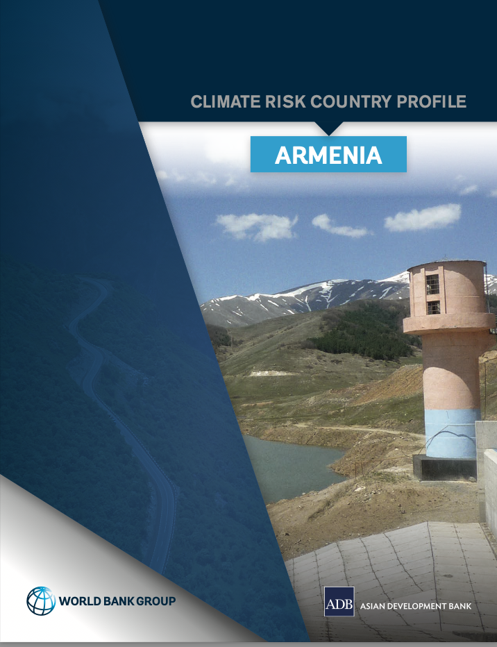
Climate Risk Country Profile: Armenia

Reports & Research
May, 2021
Armenia

This publication synthesizes climate characteristics and projections, vulnerability to natural hazards, sectoral climate change impacts, and adaptation priorities in Armenia. It outlines rapid onset and long-term changes in key climate parameters, as well as the impact of these changes on communities, livelihoods, and economies—many of which are already underway. The publication is part of a series of climate risk country profiles published jointly by ADB and the World Bank Group.

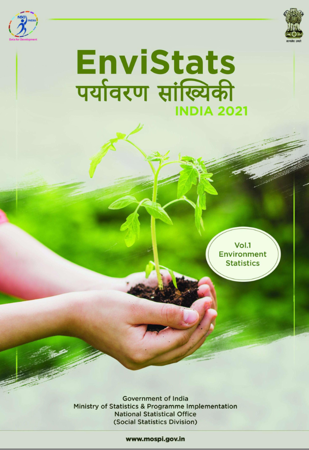
EnviStats India 2021

Reports & Research
February, 2021
India

Environment statistics enumerate various aspects of the environment and human interactions with it. The scope of environment statistics encompasses all dimensions of the environment, be it Earth, Water or Air, the biotic and abiotiv matter found within the natural environment, and various concerns arising out of impacts of human footprints on it. The objective of environment statistics is to provide information about the environment, its changes over time and across locations, and the main factors that influence them.

Quantitative analysis of the impacts of climate and land-cover changes on urban flood runoffs: a case of Dar es Salaam, Tanzania

Journal Articles & Books
November, 2021
Tanzania

Over the past half-century, the risk of urban flooding in Dar es Salaam has increased due to changes in land cover coupled with climatic changes. This paper aimed to quantify the impacts of climate and land-cover changes on the magnitudes and frequencies of flood runoffs in urban Dar es Salaam, Tanzania. A calibrated and validated SWAT rainfall-runoff model was used to generate flood hydrographs for the period 1969–2050 using historical rainfall data and projected rainfall based on the CORDEX-Africa regional climate model.