page search

Issuesland coverLandLibrary Resource
There are 2, 238 content items of different types and languages related to land cover on the Land Portal.
Displaying 2053 - 2064 of 2218

Land Sector Non State Actors-(LSNASA) Press-Petition

Institutional & promotional materials
December, 2015
Kenya

The Land Sector Non State Actors (LSNSA) is a network of civil society organizations working together to promote secure and equitable access to land and natural resource for all through advocacy, dialogue and capacity building. We petition parliament on issues we hold to be of fundamental importance in the context and content of the two bills before the National Assembly.

Land-Laws-Amendment-Bill-2015

Institutional & promotional materials
October, 2015
Kenya

The first set of the land laws were enacted in 2012 in line with the timelines outlined in the Constitution of Kenya 2010. In keeping with the spirit of the constitution, the Land Act, Land Registration Act and the national Land Commission Act respond to the requirements of Articles 60, 61, 62, 67 & 68 of the Constitution.

A Survey into the Management and use of Wetlands in Kenya

Institutional & promotional materials
March, 2006
Kenya

The Role Of Wetlands In Poverty Reduction- Extreme poverty among rural poor people living around wetlands remains a daily reality for more than 56% of Kenya’s population, who subsist on less than one dollar a day. Seventy percent of extremely poor households, a majority of who live in rural areas where hunger and poverty prevails, are now being caught up in a new web of lack of access to wetlands as safety-net during hard times due to appropriation of wetlands by private developers.

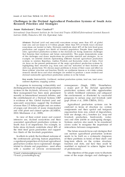
Challenges in the Dryland Agricultural Production Systems of South Asia: Research Priorities and Strategies

Journal Articles & Books
October, 2012
Southern Asia
India

Dryland (arid and semi-arid) ecosystems occupy more than 41% of global land area and are home to 2.5 billion people. More than 50% of South Asia’s dryland ecosystems are located in India. Drylands contribute about 40% of the total food grain production and support two thirds of livestock population. Despite these important roles, agricultural production systems in the drylands are facing numerous challenges that threaten their resilience and future sustainability. This paper demonstrates some of the challenges and draws implications for priorities research and strategies.

Detecting Land Abandonment in Łódź Voivodeship Using Convolutional Neural Networks

Peer-reviewed publication
March, 2020
Poland

The wide availability of multispectral satellite imagery through projects such as Landsat and Sentinel, combined with the introduction of deep learning in general and Convolutional Neural Networks (CNNs) in particular, has allowed for the rapid and effective analysis of multiple classes of problems pertaining to land coverage. Taking advantage of the two phenomena, we propose a machine learning model for the classification of land abandonment.

Drivers and Implications of Land Use/Land Cover Dynamics in Finchaa Catchment, Northwestern Ethiopia

Peer-reviewed publication
April, 2020
Global

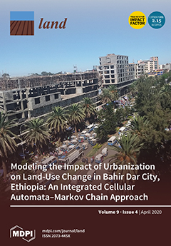
Understanding the trajectories and extents of land use/land cover change (LULCC) is important to generate and provide helpful information to policymakers and development practitioners about the magnitude and trends of LULCC. This study presents the contributing factors of LULCC, the extent and implications of these changes for sustainable land use in the Finchaa catchment. Data from Landsat images 1987, 2002, and 2017 were used to develop the land use maps and quantify the changes. A supervised classification with the maximum likelihood classifier was used to classify the images.

Effect of Land Use and Land Cover Change on Soil Erosion in Erer Sub-Basin, Northeast Wabi Shebelle Basin, Ethiopia

Peer-reviewed publication
April, 2020
Ethiopia

Land use and land cover change (LULCC) is a critical factor for enhancing the soil erosion risk and land degradation process in the Wabi Shebelle Basin. Up-to-date spatial and statistical data on basin-wide erosion rates can provide an important basis for planning and conservation of soil and water ecosystems. The objectives of this study were to examine the magnitude of LULCC and consequent changes in the spatial extent of soil erosion risk, and identify priority areas for Soil and Water Conservation (SWC) in the Erer Sub-Basin, Wabi Shebelle Basin, Ethiopia.

STATISTIK INDONESIA 2019 - Statistical Yearbook of Indonesia 2019

Institutional & promotional materials
November, 2019
Indonesia

Statistical Yearbook of Indonesia 2019 is an annual publication presenting various data from BPS-Statistics Indonesia and other agencies. The publication provides general pictures of geographic and climate conditions, government, as well as key socio-demographic and economic characteristics of Indonesia. The data in some particular tables are presented at provincial and international level to compare socio-economic condition inter-regions and inter-countries.

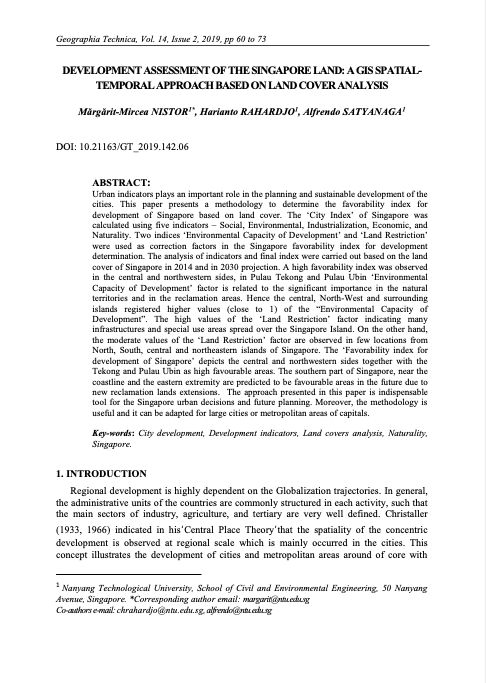
Development Assessment of the Singapore Land

Peer-reviewed publication
July, 2019
Singapore

Urban indicators plays an important role in the planning and sustainable development of the cities. This paper presents a methodology to determine the favorability index for development of Singapore based on land cover. The ‘City Index’ of Singapore was calculated using five indicators – Social, Environmental, Industrialization, Economic, and Naturality. Two indices ‘Environmental Capacity of Development’ and ‘Land Restriction’ were used as correction factors in the Singapore favorability index for development determination.

The vegetation of Singapore

Peer-reviewed publication
December, 2010
Singapore

The primeval vegetation of Singapore was largely lowland dipterocarp forest, with mangrove forest lining much of the coast and freshwater swamp forest found further inland adjacent to the streams and rivers. After colonization by the British in 1819, almost all the primeval vegetation was cleared for agriculture and other land uses. The most comprehensive vegetation map of Singapore was made in the 1970s and has not been updated since. Here we present an updated vegetation map of Singapore using information from satellite images, published works, and extensive ground-truthing.

Agricultural Landscape Composition Linked with Acoustic Measures of Avian Diversity

Peer-reviewed publication
May, 2020
Canada
Ireland
Norway
United States of America

Measuring, monitoring, and managing biodiversity across agricultural regions depends on methods that can combine high-resolution mapping of landscape patterns with local biodiversity observations. This study explores the potential to monitor biodiversity in agricultural landscapes by linking high-resolution remote sensing with passive acoustic monitoring.

Land Cover and Land Use Change in the US Prairie Pothole Region Using the USDA Cropland Data Layer

Peer-reviewed publication
May, 2020
United Kingdom
Norway
United States of America

The Prairie Pothole Region (PPR) is a biotically important region of grassland, wetland, and cropland that traverses the Canada-US border. Significant amounts of grasslands and wetlands within the PPR have been converted to croplands in recent years due to increasing demand for biofuels. We characterized land dynamics across the US portion of the PPR (US–PPR) using the USDA Crop Data Layer (CDL) for 2006–2018. We also conducted a comparative analysis between two epochs (1998–2007 & 2008–2017) of the CDL data time series in the North Dakotan portion of the US–PPR.