Application of remote sensing and GIS for flood hazard management: a case study from Sindh Province, Pakistan
Floods are one of the most common hazards in the world, affecting people's lives and livelihoods. Flood hazard mapping and flood shelters suitability analysis are vital elements in appropriate land use planning for flood-prone areas. This paper describes application of Remote Sensing (RS) and Geographical Information Systems (GIS) in identifying flood hazard zones and flood shelters and are therefore important tools for planners and decision makers.
Artificial recharge basin siting: Verification of GIS approach through geophysical investigations
Assessing water availability under pastoral livestock systems in drought-prone Isiolo District, Kenya
Atlas de indicadores ambientales y de sustentabilidad para América Latina y el Caribe
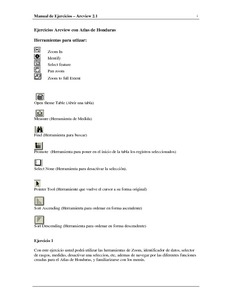
Atlas de Yorito y Sulaco, Yoro (Honduras)
Aumentando la resiliencia climática en el occidente de Honduras: explorando fuentes de agua para pequeños productores rurales
Assessment of hydro-geological potential of skimming wells in the Lower Indus Basin of Pakistan
Biophysical and socioeconomic geodatabase for land productivity dynamic assessment in Ethiopia
BMP implementations in Himalayan context: can a locally-calibrated SWAT assessment direct efforts?
Soil erosion due to accelerating runoff in various land cover types pose a serious threat to the long term sustainability of the fragile Himalayan landscape characterized by subsistence farming. Delimitation of high runoff zones, fostering soil erosion in the agricultural dominated watersheds is thus a necessity for watershed managers, NGO’s, urban planners, policy makers, and municipal administrations. The approach is practical, SWAT is a straightforward modeling system using GIS information. The BMP is also a very practical approach to mitigation of runoff accumulation on sub basin.


