page search

Issuesland-use planningLandLibrary Resource
There are 6, 693 content items of different types and languages related to land-use planning on the Land Portal.
Displaying 6109 - 6120 of 6247

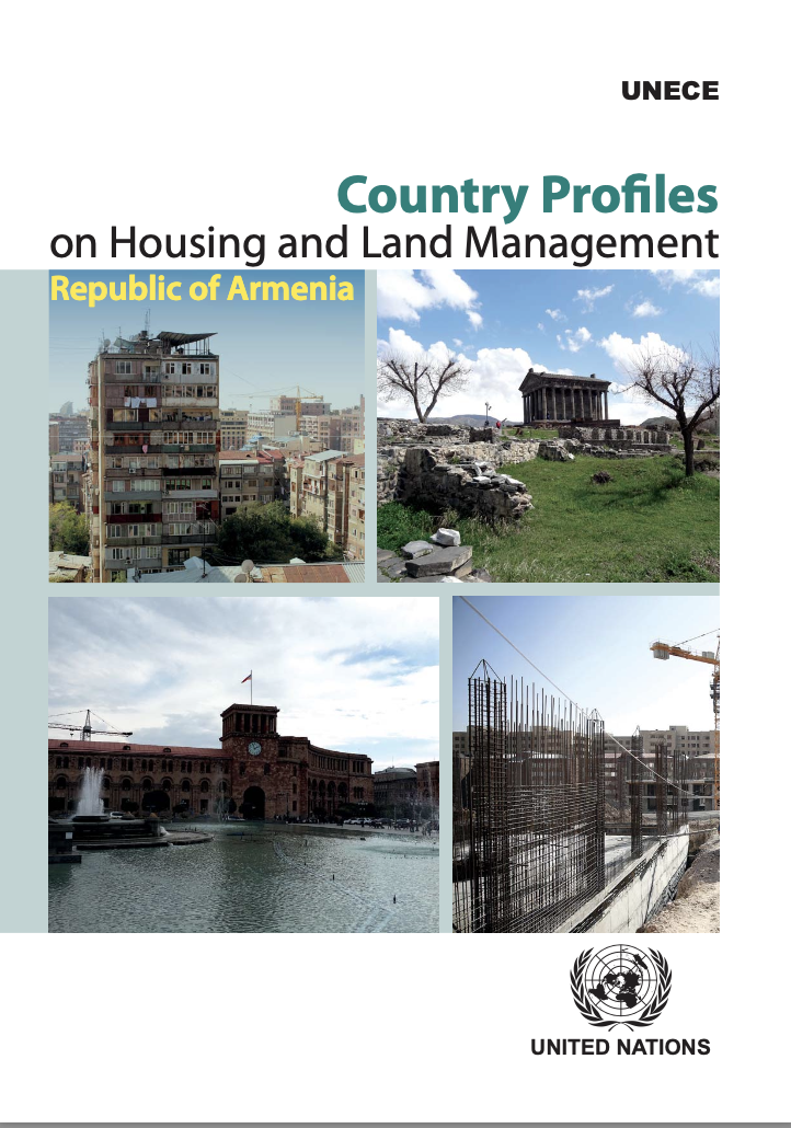
Country Profiles on Housing and Land Management: Republic of Armenia

Reports & Research
November, 2017
Armenia

This Country Profile (CP) of the Republic of Armenia is the nineteenth in the series and the second review done for the country. The first was prepared in 2004 and the analyses covered only the housing sector. This CP is an in-depth analyses of the housing, urban development and land management sectors of the Republic of Armenia. It provides policy recommendations on these sectors, while focusing on specific challenges and achievements.

Land Use Planning and Wildlife-Inflicted Crop Damage in Zambia

Peer-reviewed publication
December, 2017
Zambia

Damage to crops from wildlife interference is a common threat to food security among rural communities in or near Game Management Areas (GMAs) in Zambia. This study uses a two-stage model and cross-sectional data from a survey of 2769 households to determine the impact of land use planning on the probability and extent of wildlife-inflicted crop damage. The results show that crop damage is higher in GMAs as compared to non-GMAs, and that land use planning could be an effective tool to significantly reduce the likelihood of such damage.

Applying Biodiversity Metrics as Surrogates to a Habitat Conservation Plan

Peer-reviewed publication
December, 2020
Global

Unabated urbanization has led to environmental degradation and subsequent biodiversity loss across the globe. As an outcome of unmitigated land use, multi-jurisdictional agencies have developed land use plans that attempt to protect threatened or endangered species across selected areas by which some trade-offs between harm to species and additional conservation approaches are allowed among the partnering organizations.

Empirical Modeling of Stream Nutrients for Countries without Robust Water Quality Monitoring Systems

Peer-reviewed publication
December, 2020
Global

Water quality models are useful tools to understand and mitigate eutrophication processes. However, gaining access to high-resolution data and fitting models to local conditions can interfere with their implementation. This paper analyzes whether it is possible to create a spatial model of nutrient water level at a local scale that is applicable in different geophysical and land-use conditions. The total nitrogen and phosphorus concentrations were modeled by integrating Geographical Information Systems, Remote Sensing, and Generalized Additive and Land-Use Changes Modeling.

Assessment of Land-Use/Land-Cover Change and Forest Fragmentation in the Garhwal Himalayan Region of India

Peer-reviewed publication
December, 2016
India

The Garhwal Himalaya has experienced extensive deforestation and forest fragmentation, but data and documentation detailing this transformation of the Himalaya are limited. The aim of this study is to analyse the observed changes in land cover and forest fragmentation that occurred between 1976 and 2014 in the Garhwal Himalayan region in India. Three images from Landsat 2 Multispectral Scanner System (MSS), Landsat 5 Thematic Mapper (TM), and Landsat 8 Operational Land Imager (OLI) were used to extract the land cover maps.

Sources of and Control Measures for PTE Pollution in Soil at the Urban Fringe in Weinan, China

Peer-reviewed publication
December, 2020
China

The environment of the urban fringe is complex and frangible. With the acceleration of industrialization and urbanization, the urban fringe has become the primary space for urban expansion, and the intense human activities create a high risk of potentially toxic element (PTE) pollution in the soil. In this study, 138 surface soil samples were collected from a region undergoing rapid urbanization and construction—Weinan, China. Concentrations of As, Pb, Cr, Cu, and Ni (Inductively Coupled Plasma Mass Spectrometry, ICP-MS) and Hg (Atomic Fluorescence Spectrometry, AFS) were measured.

Changes in Land-Use and Ecosystem Service Value in Guangdong Province, Southern China, from 1990 to 2018

Peer-reviewed publication
December, 2020
China

Land-use/cover is one of the major factors that affect the ecosystem and the services it provides. The impact of land-use change on ecosystem service value is a hotspot in developing countries, especially China—a region with rapid economic development and rapid population growth. As the leading area of China’s reform and opening-up, Guangdong province in southern China is subjected to land-use conversion that significantly alters the capacity of natural ecosystem to provide ecosystem services supporting human well-being.

European Land Use Spatial Data Sources and Their Role in Integrated Planning: Opportunities and Challenges for Poland

Peer-reviewed publication
December, 2020
Netherlands
Poland

One of the 34 themes of the spatial datasets of Directive 2007/2/EC INSPIRE is ‘land use’, rightly described independently of ‘land cover’. Laws in most countries, apart from the Netherlands, do not consider the electronic form of plans as a legally binding document. As far as the elaboration step and the adoption step are concerned, the main land use requirement is related to the datasets that describe existing land use at present and in the past. Surveys and case studies concern Poland and were carried out in two stages, I in 2011–2013 and II in 2017–2019.

Evolution of Habitat Quality and Its Topographic Gradient Effect in Northwest Hubei Province from 2000 to 2020 Based on the InVEST Model

Peer-reviewed publication
December, 2020
Global

Regional land use change and ecological security are important fields and have been popular issues in global change research in recent years. Regional habitat quality is also an important embodiment of the service function and health of ecosystems. Taking Shiyan City of Hubei Province as an example, the spatiotemporal differences in habitat quality in Shiyan City were evaluated using the habitat quality module of the InVEST model and GIS spatial analysis method based on DEM and land use data from 2000, 2005, 2010, 2015, and 2020.

Key Challenges for Land Use Planning and Its Environmental Assessments in the Abuja City-Region, Nigeria

Peer-reviewed publication
December, 2020
Global

Land use planning as strategic instruments to guide urban dynamics faces particular challenges in the Global South, including Sub-Saharan Africa, where urgent interventions are required to improve urban and environmental sustainability. This study investigated and identified key challenges of land use planning and its environmental assessments to improve the urban and environmental sustainability of city-regions.

Delineating Urban Functional Zones Using U-Net Deep Learning: Case Study of Kuancheng District, Changchun, China

Peer-reviewed publication
December, 2020
Global

Scientific functional zone planning is the key to achieving long-term development goals for cities. The rapid development of remote sensing technology allows for the identification of urban functional zones, which is important since they serve as basic spatial units for urban planning and functioning. The accuracy of three methods—kernel density estimation, term frequency-inverse document frequency, and deep learning—for detecting urban functional zones was investigated using the Gaode points of interest, high-resolution satellite images, and OpenStreetMap.

It’s All about Details. Why the Polish Land Policy Framework Fails to Manage Designation of Developable Land

Peer-reviewed publication
December, 2020
Global

Since the introduction of the current legal planning system, Polish land policy has failed to manage the designation of developable land. The oversupply of developable land designated in land-use plans and resulting from various weaknesses of auxiliary planning permissions undermines the creation of compact urban settlements. The article argues that, theoretically, the Polish legal framework of developable land designation management conforms with its more effective European counterparts. What makes it not work properly are the detailed regulations and their interpretation.