page search

Issuesland useLandLibrary Resource
There are 9, 839 content items of different types and languages related to land use on the Land Portal.
Displaying 1513 - 1524 of 8566

Land Use consolidation A Home grown solution for food security in Rwanda

January, 2011
Rwanda

Rwanda’s economy is largely agrarian. More than 80% of the Rwanda’s projected population of 10.5 million1 depends on farming. The total land area of the country measures 24,700 square kilometers. Although about 79% of the country’s land is classified as agricultural, only 11% of the land represents permanent crop land2. The remaining agricultural lands are covered with forests, marshlands and marginal lands in the hillsides where permanent and routine cultivation of crops are not tenable.

Farmers, Institutions and Land Conservation
Institutional Economic Analysis of Bench Terraces in The Highlands of Rwanda

June, 2011
Rwanda

This study consists of seven chapters. Chapter 1 sets the stage of the thesis in terms of problem statement, theoretical perspective, objectives and research questions, the research area and data collection procedure, and ends with this outline. Chapter 2 will provide an account of soil erosion against the background of the environmental discourses that have emerged over time in Rwanda. Chapter 3 will discuss how farmers perceive their participation, the role of their organizations and institutions in soil and water conservation in Northern and Southern Rwanda.

Land Use, Soil Loss and Sustainable Agriculture in Rwanda

June, 1990
Rwanda

The conservation of scarce land resources is essential to the long-term viability of agriculture in Rwanda. High population density, steep slopes, and abundant rainfall prevail in the highland portions of this African country, making the task of erosion control uncommonly difficult for the peasant farmer. The specific use to which land is put, e.g., cultivation, fallow, pasture, woodlots, and, if it is cultivated, the particular combination of crops grown, can be seen as contributing to both the cause and the solution of the land degradation problem.

Land Use Consolidation in Rwanda:A Case Study of Nyanza District, Southern Province

Peer-reviewed publication
January, 2013
Rwanda

The study assessed the adoption of land use consolidation and its determinants in Nyanza District of Southern Province, Rwanda. Land use consolidation is part of the on-going crop intensification program led by the Ministry of Agriculture in Rwanda. The extent to which this policy has been adopted is less spatially known. In addition, there is scarce knowledge about the factors affecting the adoption of this policy at household level. A sample of 132 households was randomly selected for the interviews conducted in August 2010.

Land Sub-Sector Strategic Plan (2010-2013)

July, 2010
Rwanda

The finite nature of land makes it a very valuable natural resource and, therefore, its use and management need to be carried out in a sustainable and rational manner. This strategic plan for the Land Sub-sector seeks to provide a framework for medium term implementation of sector specific (Environment and Natural Resources Sector) objectives as well as land–related elements in the broader national policy instruments like EDPRS and Vision 2020.

Land Issues in the Rwanda’s Post-Conflict Law Reform.

Journal Articles & Books
January, 2011
Rwanda

Rwanda is a small, landlocked country with an area of 26,338 square kilometres, only 52% of which is used or developed. The country has a population of nearly ten million people, with a population growth rate of 3.1% and a high urbanisation rate of 8% a year. The average population density for the country as a whole has been estimated at 330 persons per km in 2002, making it one of the highest density levels in Africa. This stimulates a high demand for housing, especially in urban areas where 25,000 new dwelling units are said to be needed annually.

Multitemporal LANDSAT Imagery Analysis to Study the Dynamics of Land Cover over Lake Kivu Region

April, 2012
Rwanda

In this study, maximum likelihood supervised classification and post-classification change detection techniques were applied to cloud-free Landsat mosaic scenes formed for three years, 1987, 2001 and 2010, to map land cover changes in the Lake Kivu region in Central Africa. A supervised classification was carried out on the stacked vector of six reflective bands and two vegetation index images for the three years individually with the aid of ground data. Since ground data was not available for 1987, visual interpretation was used to aid supervised classification.

A Case Study on the Implications of the Ongoing Land Reform on Sustainable Rural Development and Poverty Reduction in Rwanda

January, 2006
Rwanda

The paper is a product of a short term consultancy work offered by Food and Agriculture Organization of the United Nations (FAO) for the Ministry of Lands, Environment Forestry, Water and Mines of Rwanda. The paper focuses on the relationship between land reform, poverty reduction and sustainable development. It is grounded in the current process of implementing a land law and policy in Rwanda. The thrust of the discussion is pillared on a number of interrelated arguments.

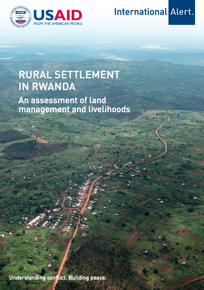
Rural Settlement in Rwanda: An assessment of land management and livelihoods.

Reports & Research
November, 2015
Rwanda

Residential land in Rwanda is scarce due to hilly terrain, a high population and a focus on agricultural growth to address food security concerns. The situation worsened following the 1994 genocide against the Tutsi, which led to extensive destruction of houses and infrastructure, leading to thousands of Rwandans becoming homeless. To address these concerns, the government embarked upon a resettlement programme to regroup people into planned residential areas, ‘imidugudu’, the aim of which is to provide improved quality of life for the population through the provision of basic needs.

Rwanda State of the environment report : Chap 3 Land use and agriculture

January, 2009
Rwanda

The agricultural sector has been given a high priority in the government’s planning for development. The current national thrust is for the sector to move from subsistence to commercial mode of production. This strategy aims to increase household incomes and lead to a 50 per cent reduction in poverty over twenty years (ROR 2008). With its projected contribution to economic growth, modernisation of agriculture is seen as one of the six pillars of Vision 2020 along with sustainable land-use management and basic infrastructure (ROR 2000).