Land Portal at CLPA: Open and Transparent Land Data Systems for Inclusive Land Governance
03 November 2021
Wednesday, 3rd November 2021
12:30 - 1:30 pm - CET / 2:30 - 3:30 pm - East African Time
Wednesday, 3rd November 2021
12:30 - 1:30 pm - CET / 2:30 - 3:30 pm - East African Time
Since the pre-industrial period, human activities are estimated to have increased Earth’s global average temperature by about 1.1 degree Celsius (IPCC, 2021), a number that is currently increasing by 0.2 degrees Celsius per decade (GISTEMP Team, 2021).
Small island nations are highly vulnerable to climate change and natural disasters; among them hurricanes, cyclones, and other violent storms. These disasters can lead to severe flooding, landslides, and, in the worst cases, can result in the loss of life and property.

Access to land is a critical factor for economic growth and poverty reduction. For government, industry, and citizens to be able to use this asset effectively and to minimize land conflicts, it is important to have access to reliable land and property records.
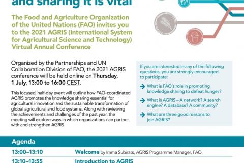
AGRIS is one of the most comprehensive databases in food and agricultural scientific literature, providing free access to millions of bibliographic records in 90 different languages.
This online event will outline how AGRIS promotes the knowledge sharing essential for agricultural innovation and the sustainable transformation of global agricultural and food systems.

Knowledge management and learning is at the heart of the LAND-at-scale program. For this reason, RVO is excited to announce a partnership with LANDac and the International Land Coalition for the implementation of an integrated knowledge management component as part of the program.

The Land Portal Foundation and the Open Data Charter are developing an Open Up Guide on Land Governance for use by governments, particularly in developing countries.

The month of March marks both International Women’s Day as well as International Open Data Day.

NASA’s Applied Remote Sensing Training Program, ARSET has opened a new open, online webinar series: Introduction to Population Grids and their Integration with Remote Sensing Data for Sustainable Development and Disaster Management

Masterclass 10 (16:30-18:00)
This webinar was organized in the frame of the 2nd Arab Land Conference.