The Role of Open Data in the Fight against Land Corruption
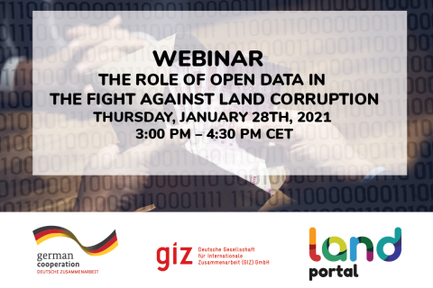
28 January 2021
Online
Deutsche Gesellschaft für Internationale Zusammenarbeit (GIZ) GmbH
Land Portal Foundation

Covid-19 has no doubt changed the way we interact with one another and the way we are able to effectively communicate in our day to day lives. When it comes to leveraging visibility for land rights globally, and keeping land on the agenda and minds of a variety of stakeholders, Covid-19 has forced us to pivot as well as innovate in our methods of communication. Traditional co

All the UN member states have committed to achieve the Sustainable Development Targets by 2030. However, there is a clear gap between what is being committed and the delivery of the commitments. For example, in 2020 National Voluntary Reports only seven countries reported on specific land targets. No country reported on the all three key land targets.
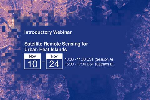
NASA’s Applied Remote Sensing Training Program (ARSET) has opened registration for a new open, online webinar series: Satellite Remote Sensing for Urban Heat Islands.
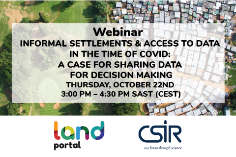
The spread of COVID-19 in South Africa and other countries in the region has again brought to the fore the fact that very dense, under-serviced, mostly informal, settlements are not healthy places to live. They are also places where the spread of a disease is difficult to prevent or manage.
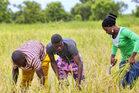
FAO produces and synthesizes a wealth of information data across all the sectors to help eradicate poverty, eliminate hunger, food insecurity and malnutrition, make agriculture, forestry and fisheries more productive and sustainable, reduce rural poverty, enable inclusive and efficient agricultural and food systems, and increase the resilience of livelihoods to threats and crises. These information and data are in text, statistical, graphic and map formats that are accessible through a wide number of FAO Knowledge Platforms.
Submissions Accepted for Presentation at the 2020 Conference on Land and Poverty

The State of Land Information in South Africa
Wednesday, 23 September
(2020-09-23)
15:00 - 16:30 UTC
Panelists will be from FAO, CGIAR, Land Portal Foundation, USDA and Beijing Academy of Agriculture and Forestry Sciences.
Groundwater makes up roughly 30% of global freshwater. It also provides drinking water for the world’s population, and irrigation for close to 1/3rd of global agricultural land. Because of this level of reliance, monitoring groundwater is crucial for water resources and land management.