page search

IssuesinfrastructureLandLibrary Resource
Displaying 1 - 12 of 131

Land-use conflict and socio-economic impacts of infrastructure projects: the case of Diamer Bhasha Dam in Pakistan

Peer-reviewed publication
January, 2017
China
Pakistan

This article examines the conflicts arising from the Diamer Bhasha Dam project in northern Pakistan. Conflicts arising from the impacts of the dam on the local population and territory and steps to resolve some of them are identified. These impacts relate to unfair land acquisition, improper displacement, inadequate compen- sation, resettlement and future livelihoods. The completion of the project depends on the arrangement of project finance, resolution of conflicts among different actors and the consent of all stakeholders.

Towards an open up guide on land governance

Conference Papers & Reports
February, 2020
Global

This report provides a summary of an online workshop on March 16th 2020, organised in place of a planned fringe meeting of the World Bank Land and Poverty Conference which was cancelled due to the COVID-19 pandemic. The 2-hour digital workshop brought together over 40 participants from across the world to discuss key data and key open data use-cases for land governance. This report is written based on workshop recordings and shared notes.

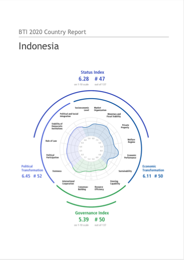
BTI 2020 Country Report Indonesia

Reports & Research
April, 2020
Indonesia

Between 2017 and 2019, the quality of democracy in Indonesia continued to slowly but noticeably decline. While President Jokowi was able to de-escalate the conflict between the government and Islamist groups to some extent, he only managed to do so by integrating some Islamist themes and actors into the government structure. This, in turn, moved Indonesia ideologically and politically to the (religious) right. Religious, social and political minorities were the biggest losers of this shift.

From City- to Site-Dimension: Assessing the Urban Ecosystem Services of Different Types of Green Infrastructure

Peer-reviewed publication
May, 2020
United States of America

Cities have a wide variety of green infrastructure types, such as parks and gardens. These structures can provide important ecosystem services (ES) with a major impact on human well-being. With respect to urban planning, special consideration must be given to such green infrastructure types when implementing measures to maintain and enhance the quality of life. Therefore, generating knowledge on the urban ES of differently scaled green infrastructure types is important.

Evaluation of the Completeness of Spatial Data Infrastructure in the Context of Cadastral Data Sharing

Peer-reviewed publication
August, 2020
Europe

The idea behind the Infrastructure for Spatial Information in Europe (INSPIRE) project was to provide EU citizens with access to various types of information, including environmental protection and spatial management data. These resources can be viewed (Web Map Service—WMS) and downloaded (Web Feature Service—WFS) online. Cadastral datasets represent one of the 34 spatial data themes in the spatial data infrastructure (SDI). The functionality of the SDI has not yet been fully achieved due to the failure of the WMS and WFS network services.

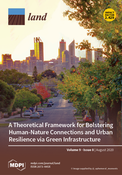
A Theoretical Framework for Bolstering Human-Nature Connections and Urban Resilience via Green Infrastructure

Peer-reviewed publication
August, 2020
Global

Demand for resources and changing structures of human settlements arising from population growth are impacting via the twin crises of anthropogenic climate change and declining human health. Informed by documentary research, this article explores how Urban Resilience Theory (URT) and Human-Nature Connection Theory (HNCT) can inform urban development that leverages urban green infrastructure (UGI) to mitigate and meditate these two crises.

Mapping Landscape Potential for Supporting Green Infrastructure: The Case of a Watershed in Turkey

Peer-reviewed publication
August, 2020
Turkey
United States of America

Green infrastructure (GI) is a strategic planning approach that can contribute to solutions for ecological, social, and environmental problems. GI also aims to conserve natural and semi-natural landscapes and enhance ecological networks. Within the scope of spatial planning, urban and rural landscape units can be integrated through GI planning. In this study, we propose a method to calculate the landscape potential and map GI in the lower Büyük Menderes River Basin, Turkey.

A Conceptual Framework to Design Green Infrastructure: Ecosystem Services as an Opportunity for Creating Shared Value in Ground Photovoltaic Systems

Peer-reviewed publication
August, 2020
Italy
Portugal
United States of America

This paper presents a conceptual framework that looks at photovoltaic systems in synergy with ecosystem services. The focus is to connect business success with social and ecological progress based on the operative concept of multifunctional land use. Such an approach attempts to harmonise the needs of the industrial processes of photovoltaic systems and the ecological and social needs of the landscape context. Different from the usual design of ground photovoltaic systems in farmlands or brownfields, a new framework is proposed, combining photovoltaic panels and vegetation.

2020 United Nations High-Level Political Forum for Sustainable Development: Voluntary National Review Report of Brunei Darussalam

Reports & Research
May, 2020
Brunei Darussalam

Brunei Darussalam strives to build on its Millennium Development Goals achievements to take greater strides towards the 2030 Agenda for Sustainable Development and the Sustainable Development Goals (SDGs).

Ministry of Development Policy Framework 2018 - 2023

Reports & Research
April, 2018
Brunei Darussalam

THE Ministry of Development (MoD)’s Policy Framework and Strategic Plan 2018-2023 is a comprehensive plan that outlines the policy direction in priority areas and provides strategy and implementation arrangements from aspects of land use planning, infrastructure development and environmental management so that they are closely coordinated with the country’s socio-economic development in line with duties and responsibilities towards the realisation of Brunei Vision 2035.

Green Infrastructure Planning in Metropolitan Regions to Improve the Connectivity of Agricultural Landscapes and Food Security

Peer-reviewed publication
October, 2020
United States of America

Green infrastructure (GI), as a concept and as a tool for environmental land-use planning at various scales, has burst onto the academic, political, and policy-making scenes in the last two decades. This tool, associated with strategic planning, offers integrated solutions for improving the ecological connectivity and urban resilience of open spaces, especially those affected by processes of urban sprawl, the abandonment of agriculture, and the territorial fragmentation of habitats and traditional agricultural landscapes.

Between Abundance and Constraints: The Natural Resource Equation of Asia’s Diverging, Higher-Income City Models

Peer-reviewed publication
October, 2020
Hong Kong
Singapore
Kuwait

This paper investigates how natural resource conditions impact the physical development of cities and how, once built, the urban spatial structure leads to different patterns of resource use. The point of departure for this research is the common “resource urbanisms” assumption that cities are directly affected by the availability and costs of natural resources, and that in turn, different urbanisms result in substantial differences in resource use and consequent impact on the environment.