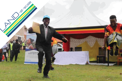
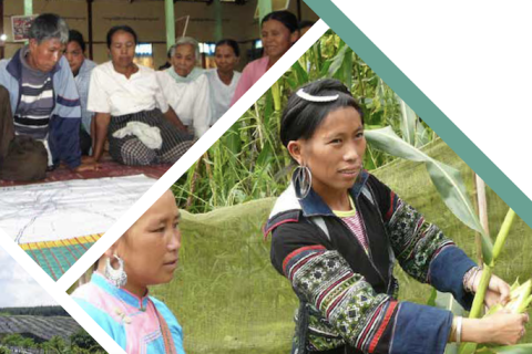
The second LAND-at-scale (LAS) exchange took place from June 26th to June 28th, 2023. Sixty partners came together in Utrecht, the Netherlands to exchange lessons learned and explore common challenges. As of 2023, ten country projects are currently being implemented under the LAS program, namely Burkina Faso, Burundi, Chad, Colombia, Mali, Mozambique, the Palestinian Territories, Somalia, Rwanda and Uganda. All countries were represented and almost all implementing partners were present at the Exchange.
Challenges with regards to scaling is not unique to the land sector. Working in the context of agriculture for development, CGIAR and Wageningen University developed the Scaling Readiness approach. This approach response to the fact that the pressure to demonstrate fast and visible results and impact at scale, has sometimes resulted in unreasonable and unrealistic expectations, and in fact stimulated simplistic and non-sustainable scaling approaches.
Burundi has the world’s highest hunger score and around 45 percent of the population is affected by food insecurity. The country copes with increasing scarcity of land as a result of increasing population size, returnees and IDPs and climate change. With the majority of Burundians depending on agriculture for their food and livelihoods, land scarcity makes this reliance on agriculture precarious. This pressure on land causes elevated levels of land disputes with over 55% of all court cases being related to conflicts over land. The results of these disputes are often highly uncertain, as land is commonly not registered and no good documentation of ownership or use rights exists.
Scaling is at the heart of both the name as well as the strategy of LAND-at-scale. Scaling and scaling potential are key in the way the program was designed and is reflected in the three pillars chosen to realize the aim of the program. The first pillar is about scaling successful initiatives and projects; the second pillar focuses on land governance innovations with scaling potential; and the third pillar covers knowledge management, with a focus on gaining a deeper understanding on the conditions required to make scaling successful.
This data story reflects on the complexities of measuring the impact of land governance projects and summarize some of the best practices on impact evaluation from the well-known guidelines on the topic.
On 27-28 June 2022, RVO organized the first annual LAND-at-scale exchange, bringing together over fifty LAND-at-scale project partners, knowledge management partners, Committee members as well as representatives from the Dutch Ministry of Foreign Affairs for an in-depth introduction of all LAND-at-scale stakeholders and facilitate a learning exchange.
Burkina Faso has a long history of land interventions aiming to achieve tenure security at the local level. The “Observatoire National du Foncier au Burkina-Faso” (ONF-BF) is one of the key players in the country working on mapping land rights within communities at commune-level. How does ONF-BF address the challenge of not only attaining tenure security through mapping, but ensuring these tenure rights last over time?
.
The Global Land Tool Network (GLTN) has a lot of experience across the world in implementing tenure security projects. Like no other, they understand the threat insecurity of tenure has on people’s livelihoods and food security and have made it their mission to secure tenure rights for all. LAND-at-scale is working with GLTN in Uganda to design a scalable approach towards improved tenure security and sustainable land use for men, women and youth on customary land. Learn more about their experiences and approach in this interview with Simon-Peter Mwesigye from the GLTN Secretariat.
More than a dozen land-related indicators are housed over five SDG goals, with data maintained by different custodian agencies. The Land Portal re-launched the SDG Land Tracker to help land stakeholders monitor developments and discussion.
This case study was originally published on the FAO AGROVOC site. Image: FAO/Luis Tato
1. Land Portal Foundation and LandVoc
Curating land information is part of our daily work in the Land Portal. It includes selecting, categorizing, and enriching information with analysis and/or additional data, graphic visualizations, etc. In times with so much information available to choose from, people are increasingly seeking sources that offer selections of high-quality knowledge and provide analysis that make sense of it. Understanding how partners in the land community are meeting this demand is a great source for us to improve our work of curating, and providing meaning to land data.