
page search

There are 32 content items of different types and languages related to spatial units on the Land Portal.
Displaying 1 - 4 of 4

Species Distribution Modeling with Remote Sensing

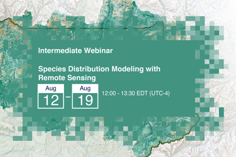
12 August 2021 - 19 August 2021

Species Distribution Models (SDMs) play a critical role in biodiversity, conservation, and understanding the potential impacts to ecosystems under changing climate conditions. SDMs contextualize future scenarios based on known or projected ecological parameters and are the cornerstone for adaptive management planning around short- and long-term changes to complex landscapes.

FIG Congress 2022

11 September 2022 - 15 September 2022
Warsaw
Poland

It is a real honour to host the FIG Congress 2022 in Warsaw, Poland. The Conference will be held 11-15 September 2022 in Warsaw, Poland at DoubleTree by Hilton Hotel & Conference Centre Warsaw.

International Federation of Surveyors (FIG)

Using spatial data tools to plan for urbanisation, climate-change and shifting economic conditions

13 September 2023

In this webinar we explore and discuss two multi-partner platforms that process large datasets and provide tools to support decision making in complex, dynamic urban and regional environments. What impacts are they trying to achieve? How do they enhance efforts to engage with the information so produced?

Council for Scientific and Industrial Research
Urban Knowledge Exchange

Land Rights for Sustainable Development - The Role of Data

16 January 2024
European Commission
Brussels
Belgium

Having secure land tenure, ensuring people's confidence in accessing, controlling and utilizing their land, is crucial for promoting sustainable land management practices. It also plays a key role in building resilience against the impacts of climate change, including extreme weather events, rising sea levels, and increased desertification due to higher temperatures.

International Land Coalition
Land Portal Foundation
Land Matrix
Prindex