De bodemgesteldheid van het ruilverkavelingsgebied Stedum - Loppersum

Reports & Research
December, 1969
Netherlands
AGROVOC URI: http://aims.fao.org/aos/agrovoc/c_b43d8acf
The purpose of this paper is to propose legal and policy enhancements that may prevent the cancellation of the legal force of zoning due to discord with the Korean Land Use Regulation Map (LURM) and secure legal stability. The legal force of zoning has been canceled because of the discordance of the LURM with past cadastral maps, and this has led to confusion regarding zoning decisions and even the postponement and cancellation of public projects. Here, the causes of LURM discordance and legal cancellation of zoning were identified and evaluated through judicial precedents.
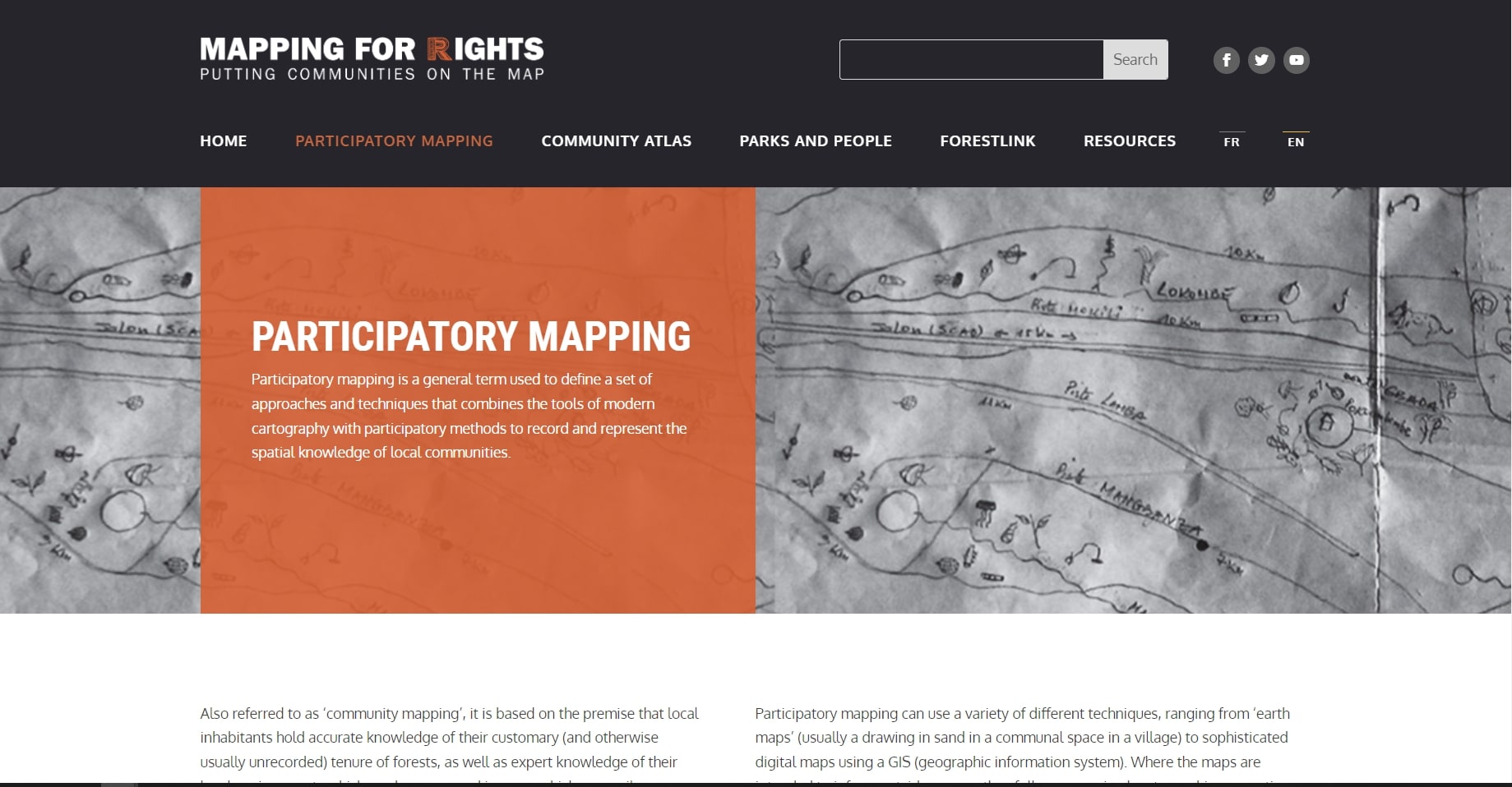
MappingForRights, an initiative of the Rainforest Foundation UK and local partners, enables forest communities themselves to demonstrate their presence in the forest; decision-makers and the private sector to take account of and recognise this presence; and to assist the international community in ensuring that programmes concerned with the Congo Basin’s forests provide equitable benefits for local communities.
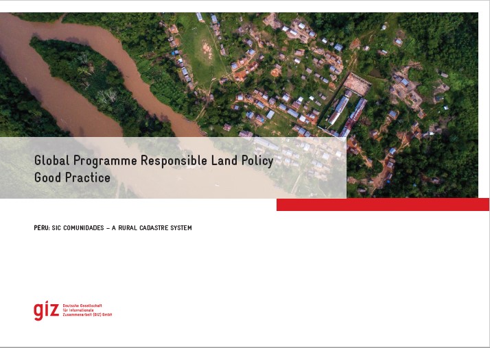
The Global Programme 'Responsible Land Policy' (GPRLP) is part of the Special Initiative 'One World, No Hunger' of the German Federal Ministry for Economic Cooperation and Development (BMZ), which aims to reduce extreme poverty and hunger.
In Peru, ProTierras Comunales (PTC), as part of the Global Programme, aims to improve the access to land and natural resources for native communities in the Peruvian Amazon, in the regions Ucayali and San Martín. A functional and regularly updated digital cadastre system was created to improve the land titling system.
A new report by Small Foundation and Palladium looks at the viability of geomapping as a tool to close the smallholder farmers’ financing gap and improve their livelihoods.

A 16 minute documentary film developed by ESAFF Uganda detailing how small-scale farming communities in northern Uganda are using LSLBI tools to raise the awareness;especially of women;to engage with local leaders;produce resource maps;including scoping;negotiating;monitoring and implementation. The training also used drama. The aim is to empower farmers who engage with investors.
Report;through a cross-sectoral analysis of three recent case studies from sub-Saharan Africa;maps out the most effective tools and approaches for strengthening rural women’s voices in decision-making processes. The authors examine which are the key factors enabling or constraining rural women’s voices;what the main challenges are that practitioners should be aware of;and how projects can ensure rural women are able to participate in and influence decision making affecting their livelihoods.

How can maps drawn over a century ago still lead to conflict between two countries? The Southeast Asian countries of Thailand and Cambodia are neighbors with a difficult history and a shared border. Their religious similarities have made sacred spaces along the border a divisive issue, with the sacred site of Preah Vihear a central point of controversy.
Spatio-Temporal Measurements Of Urban Sprawl Dynamics In Oyo Town, Nigeria
Context and backgroundMultidimensional Poverty (MP) considers poverty in multiple dimensions of deprivations such as health, education, energy, the standard of living and access to basic services. MP remains a major challenge in Africa, with a large proportion of the population living in MP.