page search

Displaying 133 - 144 of 2219

An Overview of the Impacts of Land Use Land Cover Changes (1980–2014) on Urban Water Security of Kolkata

LandLibrary Resource
Peer-reviewed publication
September, 2018
Global

Urban Water Security is essential in urban planning to manage cities’ water infrastructures and strengthen their water stress resilience and adaptive capacities. Decision making, governance and socio-economic factors play important roles in achieving Urban Water Security.

An Experimental Framework for Integrating Citizen and Community Science into Land Cover, Land Use, and Land Change Detection Processes in a National Mapping Agency

LandLibrary Resource
Peer-reviewed publication
September, 2018
France

Accurate and up-to-date information on land use and land cover (LULC) is needed to develop policies on reducing soil sealing through increased urbanization as well as to meet climate targets. More detailed information about building function is also required but is currently lacking.

Analyses of Land Cover Change Trajectories Leading to Tropical Forest Loss: Illustrated for the West Kutai and Mahakam Ulu Districts, East Kalimantan, Indonesia

LandLibrary Resource
Peer-reviewed publication
September, 2018
Indonesia

In Indonesia, land cover change for agriculture and mining is threatening tropical forests, biodiversity and ecosystem services. However, land cover change is highly dynamic and complex and varies over time and space.

Analyses of Land Cover Change Trajectories Leading to Tropical Forest Loss: Illustrated for the West Kutai and Mahakam Ulu Districts, East Kalimantan, Indonesia

LandLibrary Resource
Journal Articles & Books
September, 2018
Indonesia

In Indonesia, land cover change for agriculture and mining is threatening tropical forests, biodiversity and ecosystem services. However, land cover change is highly dynamic and complex and varies over time and space.

Reshaping the terrain: Forest landscape restoration in Uganda

LandLibrary Resource
Reports & Research
July, 2018
Uganda

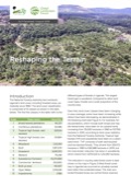
The National Forestry Authority has monitored Uganda’s land cover, including forested areas, periodically since 1990. The land cover classification is comprised of 13 classes as shown in the table below. The first five classes in the table refer to the different types of forests in Uganda. The largest forest type is woodland.

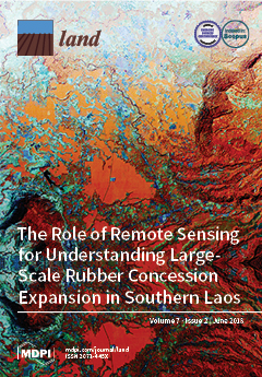
Modeling Land Use and Land Cover Changes and Their Effects on Biodiversity in Central Kalimantan, Indonesia

LandLibrary Resource
Peer-reviewed publication
June, 2018
Indonesia

Land use and land cover (LULC) change causes biodiversity decline through loss, alteration, and fragmentation of habitats. There are uncertainties on how LULC will change in the future and the effect of such change on biodiversity.

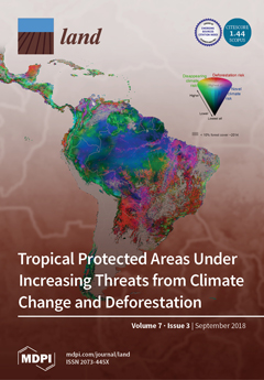
Assessment of Land Cover Change in Peri-Urban High Andean Environments South of Bogotá, Colombia

LandLibrary Resource
Peer-reviewed publication
June, 2018
Colombia
South America

Bogotá, the rapidly growing center of an emerging economy in the northern part of South America, is located within a biodiversity hotspot in the tropical Andes. The surrounding mountains harbor the ecosystems Páramo and Bosque Altoandino whose high water retention capacity serves as a “natural water tower” for the city’s freshwater supply.

Kenya GIS Data

LandLibrary Resource
Training Resources & Tools
December, 2017
Kenya

You can carry out your own analyses on poverty and ecosystem services with the GIS data made available, some of them being publicly released for the first time. All data are accompanied by metadata.


Regional assessment of groundwater recharge in the lower Mekong Basin

LandLibrary Resource
Journal Articles & Books
December, 2017

Groundwater recharge remains almost totally unknown across the Mekong River Basin, hindering the evaluation of groundwater potential for irrigation. A regional regression model was developed to map groundwater recharge across the Lower Mekong Basin where agricultural water demand is increasing, especially during the dry season.