page search

Displaying 109 - 120 of 2218

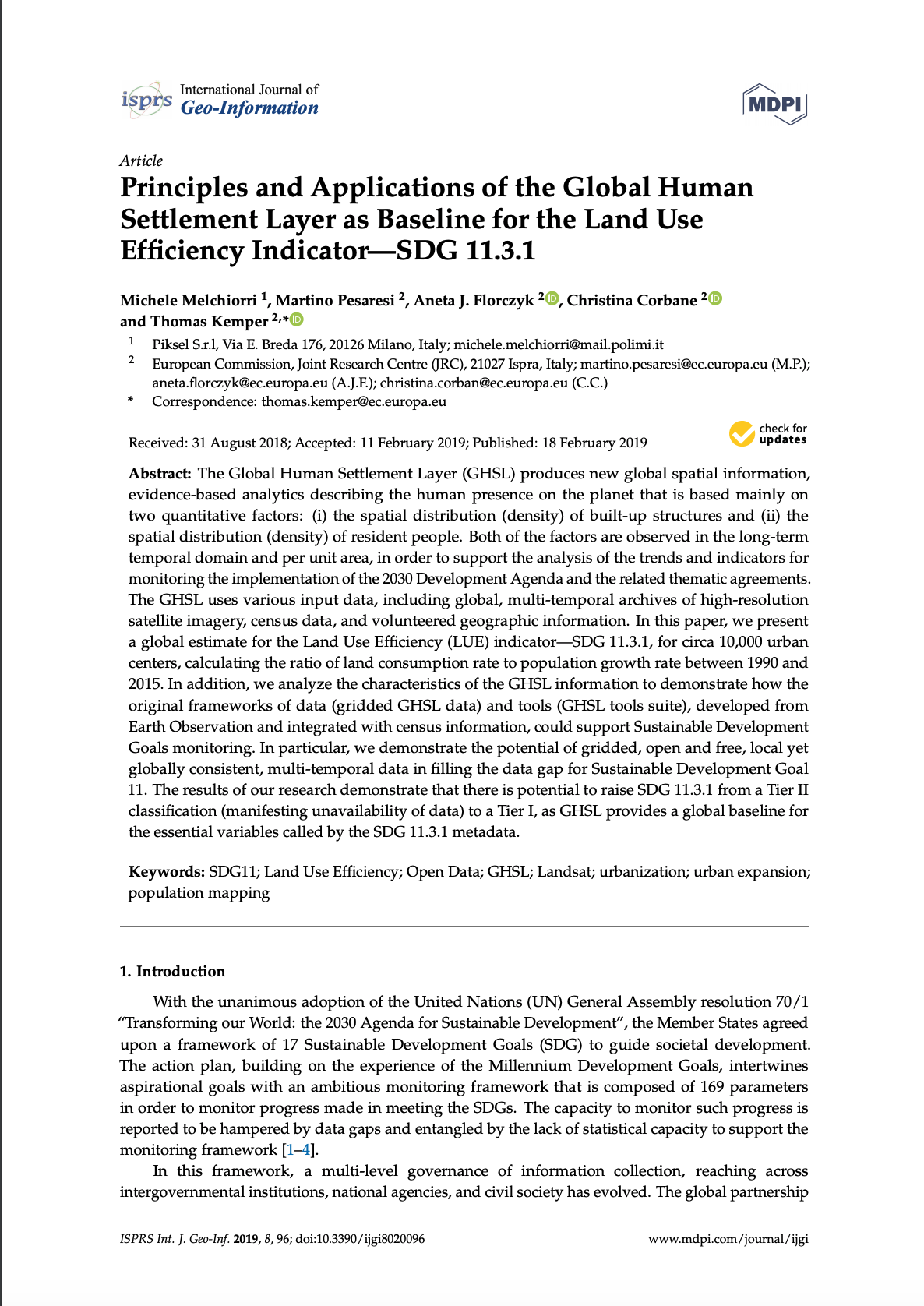
Principles and Applications of the Global Human Settlement Layer as Baseline for the Land Use Efficiency Indicator—SDG 11.3.1

Reports & Research
January, 2019
Global

The Global Human Settlement Layer (GHSL) produces new global spatial information, evidence-based analytics describing the human presence on the planet that is based mainly on two quantitative factors: (i) the spatial distribution (density) of built-up structures and (ii) the spatial distribution (density) of resident people. Both of the factors are observed in the long-term temporal domain and per unit area, in order to support the analysis of the trends and indicators for monitoring the implementation of the 2030 Development Agenda and the related thematic agreements.

Changes in Land Cover and Urban Sprawl in Ireland From a Comparative Perspective Over 1990–2012

Peer-reviewed publication
January, 2019
Ireland

In this article, we first summarise trends of land use changes and urbanisation in Ireland since 1990 using data from the Corine Land Cover program. In doing so, we compare the developments in Ireland with other European countries. Second, we propose a statistical test for the presence of sprawl using conditional and unconditional convergence tests. The two-part empirical analysis allows us to establish that Ireland has experienced a substantial loss of non-urban land in recent decades.

Determinants of Land Use/Cover Change in the Iberian Peninsula (1990–2012) at Municipal Level

Peer-reviewed publication
January, 2019
Portugal
Spain

This work analyzes the determinants associated with main land use/cover changes in the Iberian Peninsula during the 1990–2012 period using a decision tree model. Our main objective is to identify broad-scale patterns that associate the characteristics of geographic areas with the dominant land use/cover change process based on CORINE Land Cover (Coordination of Information on the Environment) and defined in a previously published work. Biophysical, structural and socioeconomic variables were considered as potentially explanatory of the dominant change process at municipal scale.

Dynamics of the plant community and microbiom of chrono-series of post-technological soil in limestone quarry in the conditions of recultivation

Journal Articles & Books
December, 2018
Russia

Post-technogenic ecosystems represent informative natural models of initial pedogenesis and restoration under the abandoned and reclamation practices. The purpose of this study conducted in one of the largest limestone quarries of Leningrad region was to examine successions of plant and microbial communities. Species composition and vegetation cover were estimated for different plant communities within each ecotype of quarry.

Using Land Cover Change to Predict Forest Degradation Pressure Points, Eastern Mau Forest, Kenya

Journal Articles & Books
December, 2018
Kenya

Land cover change in any ecosystem vary in space and time. The study analyzed spatial-temporal land cover change to predict forest degradation pressure points in Eastern Mau Forest Reserve. The study objectives were to determine types and amount of spatial-temporal land cover change; land cover change drivers and; forest resources use sustainability. The study used mixed sample survey design involving purposive sampling of spatial data and cluster sampling of forest resource use data. Primary data included ground control points, field validation data and forest resource use data.

Improving the accuracy of remotely sensed irrigated areas using post-classification enhancement through UAV [Unmanned Aerial Vehicle] capability

Journal Articles & Books
December, 2018
South Africa
Southern Africa

Although advances in remote sensing have enhanced mapping and monitoring of irrigated areas, producing accurate cropping information through satellite image classification remains elusive due to the complexity of landscapes, changes in reflectance of different land-covers, the remote sensing data selected, and image processing methods used, among others. This study extracted agricultural fields in the former homelands of Venda and Gazankulu in Limpopo Province, South Africa.

Recent land cover changes in Latvia

Conference Papers & Reports
December, 2018
Latvia
Europe

Increase in use of biomass as renewable source of energy in Europe is tightly linked to the policies aimed at mitigation of climate changes i.e. reductions of greenhouse gas emissions. Both for assessment of the carbon sequestration and emissions as well as for assessment of potential amounts of biomass for renewable energy, information of land cover dynamics are essential. Therefore, the aim of our study was to improve accuracy of estimates of the land use changes in the time period between 1990 and 2014.

The use of Earth Observation for wetland inventory, assessment and monitoring

Reports & Research
December, 2018

The use of Earth Observation (EO) provides Contracting Parties to the Ramsar Convention on Wetlands with new approaches to ensure the wise use and conservation of wetlands at the national and global levels. EO has many applications including the inventory, assessment
and monitoring of wetlands. As technology advances, previous limitations of EO will be reduced, and it is anticipated that the use of EO in the management of wetlands will increase. This Ramsar Technical Report aims to provide practitioners with an overview and illustration,

Global-scale comparisons of human land use: developing shared terminology for land-use practices for global change

Journal Articles & Books
December, 2018

Human land-use practices have been highly variable over the course of the Holocene, a diversity evident in the differentiated effects of human activity on land cover. Historically, agriculture was one of the most significant forms of land use, but even mobile hunter-gatherers transformed land cover through landscape-scale burning (Bliege Bird 2008). Livestock-keeping, plowing, irrigation, and the production of metal, ceramics, and bricks, have also been drivers of historical change.

Assessment of Land Cover Changes in the Hinterland of Barranquilla (Colombia) Using Landsat Imagery and Logistic Regression

Peer-reviewed publication
December, 2018
Colombia

Barranquilla is known as a dynamically growing city in the Colombian Caribbean. Urbanisation induces land use and land cover (LULC) changes in the city and its hinterland affecting the region’s climate and biodiversity. This paper aims to identify the trends of land use and land cover changes in the hinterland of Barranquilla corresponding to 13 municipalities in the north of the Department Atlántico. Landsat TM/ETM/OLI imagery from 1985 to 2017 was used to map and analyse the spatio-temporal development of land use and land cover changes.