page search

Displaying 6793 - 6804 of 13045

Décret n°2015-0634/PM-RM du 15 octobre 2015 portant répartition des services publics entre la primature et les départements ministériels.

Regulations
October, 2015
Mali

Le présent décret organise la répartition des services publics entre la Primatures et les Départements ministériels, entre autres le Ministère du développement rural; le Ministère des domaines de l'Etat et des affaires foncières; le Ministère de l'environnement, de l'assainissement et du développement durable; le Ministère du commerce et de l'industrie; le Ministère de l'aménagement du territoire et de la population; le Ministère de l'énergie et de l'eau; et le Ministère des mines.Le Ministère du développement rural comprend les Services centraux (Direction nationale du Génie rural; Directi

Determinants of Local People's Perceptions and Attitudes Toward a Protected Area and Its Management: A Case Study From Popa Mountain Park, Central Myanmar

Reports & Research
October, 2015
Myanmar

... Without local support, the long-term existence of PAs is not assured (Wells and McShane 2004). Local people are unlikely to support PAs if they have negative perceptions

Vers des fonds forestiers nationaux efficaces

Journal Articles & Books
September, 2015
Rwanda
Mali
Burundi
Guatemala
Peru
Indonesia
Vanuatu
Malawi
Costa Rica
Niger
Uruguay
Mozambique
Laos
Philippines
Malaysia
Madagascar
Tanzania
Portugal
Argentina
India
Vietnam
Kenya
Asia
Africa
Americas

Vers des fonds forestiers nationaux efficaces aborde le besoin de disposer de davantage d’informations sur la manière dont les FFN fonctionnent et sur la manière de les créer et les gérer de manière optimale. Les leçons tirées de l’instauration et de la gestion de FFN sont partagées afin de soutenir les pays dans la création et la mise en oeuvre efficace de FFN en fonction de leurs besoins et circonstances spécifiques.

Transitions in Land Use Architecture under Multiple Human Driving Forces in a Semi-Arid Zone

Peer-reviewed publication
September, 2015
Burkina Faso

The present study aimed to detect the main shifts in land-use architecture and assess the factors behind the changes in typical tropical semi-arid land in Burkina Faso. Three sets of time-series LANDSAT data over a 23-year period were used to detect land use changes and their underpinning drivers in multifunctional but vulnerable ecologies. Group discussions in selected villages were organized for mapping output interpretation and collection of essential drivers of change as perceived by local populations. Results revealed profound changes and transitions during the study period.

Modelling Deforestation and Land Cover Transitions of Tropical Peatlands in Sumatra, Indonesia Using Remote Sensed Land Cover Data Sets

Peer-reviewed publication
September, 2015
Indonesia

In Southeast Asia land use change associated with forest loss and degradation is a major source of greenhouse gas (GHG) emissions. This is of particular concern where deforestation occurs on peat soils. A business-as-usual (BAU) land change model was developed using Dinamica EGO© for a REDD+ Demonstration Activity area in south-east Jambi Province, Sumatra, Indonesia containing Berbak National Park (NP). The model output will be used as baseline land change predictions for comparison with alternative land cover management scenarios as part of a REDD+ feasibility study.

Delivering Impacts for People and Forests in Asia: Annual report October 2013-September 2014

Institutional & promotional materials
September, 2015
South-Eastern Asia

Building on a very successful previous strategic phase, RECOFTC’s new Strategic Plan (2013-2018) has completed its first year with many exciting outcomes. RECOFTC's Annual Report 2013-2014 highlights progress in our four thematic areas: Securing Community Forestry; Enhancing Livelihoods and Markets; People, Forests and Climate Change; and Transforming Forest Conflicts.

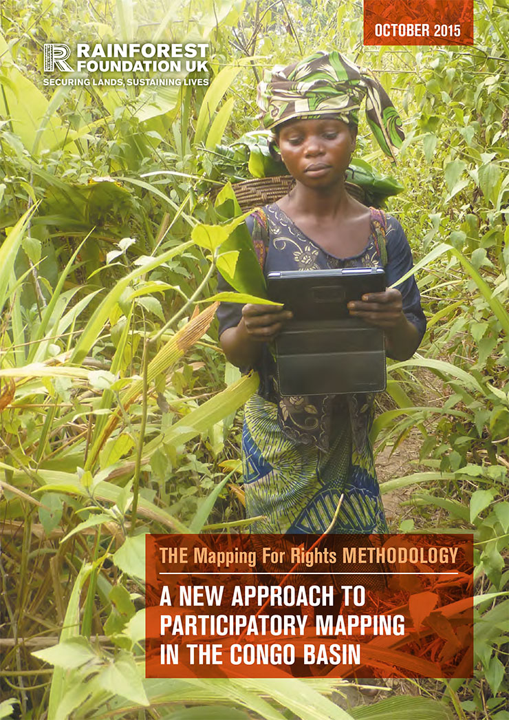
Mapping For Rights' Mapping Methodology: A new approach to participatory mapping

Manuals & Guidelines
September, 2015
Cameroon
Central African Republic
Congo
Democratic Republic of the Congo
Equatorial Guinea

This guide presents the 'Mapping for Rights' approach, which combines participatory mapping techniques, facilitation and hands-on support with the application of relevant and available technology. This combination of tools, guidance and equipment enables communities to identify advocacy goals that their maps could support. The maps are designed to provide a snapshot of the communities’ reality, including information on their history and socio- economic situation and demonstrate occupation and use of specific areas by communities.

Forest-Based Bamboo Trade in Mendha Lekha and Jamguda

Reports & Research
September, 2015
India

This paper presents case studies of two tribal villages - Mendha Lekha and Jamguda - successfully running forest-based bamboo businesses under the community forest rights provisions of Forest Rights Act (2006). We have documented the issues faced by the villagers in claiming community forest rights, issues faced in harvesting and sale of bamboo, and business practices adopted by both the villages.

Manejo forestal comunitario, gobernanza y género en Hidalgo, México

Journal Articles & Books
September, 2015
Latin America and the Caribbean
Mexico

Las mujeres son importantes usuarias de recursos forestales. Sin embargo, su participación en la gobernanza forestal es limitada, y las razones de esta situación han sido poco estudiadas en México. Este artículo sostiene que la discriminación de género en la tenencia de la tierra, la división genérica del trabajo, la inequitativa distribución de beneficios y la visión estrictamente comercial de planes de manejo contribuyen a la exclusión femenina del manejo forestal comunitario (mfc).