
page search

Displaying 73 - 84 of 108

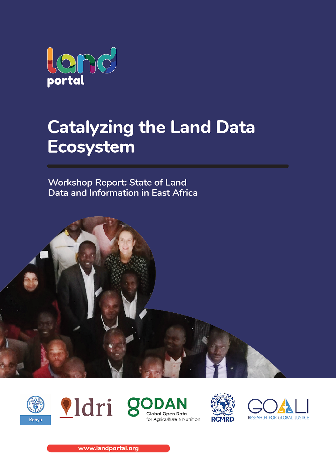
Catalyzing the Land Data Ecosystem

Conference Papers & Reports
June, 2019
Africa
Eastern Africa
Kenya
South Sudan
Tanzania
Uganda

There is no doubt that the Global Data Revolution has reached the land sector. Government data portals, open access academic journals, community mapping initiatives and other citizen-generated data - there is a palpable positive drive across the world that allows processes such as data collection to be more inclusive and open. But within this data momentum, there are still many barriers and questions: Who can access the data, and how? What data is reliable? Who owns the data? What data is up to date? Can I use the data without inflicting harm?

The BonaRes metadata schema for geospatial soil-agricultural research data – Merging INSPIRE and DataCite metadata schemes

Reports & Research
June, 2019
Global

A spatial data infrastructure (SDI) for the upload and provision of soil-agricultural research data in Germany was developed and launched in 2017. The precondition for the new SDI were to be compliant with the European initiative for spatial information (INSPIRE), to consider FAIR data principles, to be interoperable with other disciplinary national and international SDIs and to support dataset registrations with digital object identifiers (DOI). To meet these requirements, the new SDI had to support both the INSPIRE and DataCite metadata standards.

India’s Land Information Ecosystem Workshop Report

Conference Papers & Reports
March, 2019
India

On March 15th 2019, 27 participants from India and across the world gathered at the sidelines of the India Land & Development Conference 2019 to discuss India’s Land Information Ecosystem. Availability of accurate and up to date data and information on land rights, tenures and administration as well as on different land use, such as agriculture, forestry, mining, wildlife, water, housing and infrastructure, is critical to effective land governance and crucial for planning and managing the use of land and land-based resources.

State of Land Information Tanzania: Uncovering Tanzania's Land Information Ecosystem

Reports & Research
February, 2019
Tanzania

Availability of accurate and up to date data and information on land and different land uses, such as agriculture, forestry, mining, wildlife, water, housing and infrastructure, is critical to effective land governance and crucial for planning and managing the use of land and land-based resources. Public institutions and the government need land data and information for appropriate and timely decision-making; while land users, the general public and other stakeholders need it to effectively monitor and influence those decisions.

State of Land Information Uganda: Uncovering Uganda's Land Information Ecosystem

Reports & Research
February, 2019
Uganda

Availability of accurate and up to date data and information on land and different land uses, such as agriculture, forestry, mining, wildlife, water, housing and infrastructure, is critical to effective land governance and crucial for planning and managing the use of land and land-based resources. Public institutions and the government need land data and information for appropriate and timely decision- making; while land users, the general public and other stakeholders need it to effectively monitor and influence those decisions.

Best Practices in Data Flows and Global Data Reporting for the Sustainable Development Goals

Conference Papers & Reports
February, 2019
Africa
Latin America and the Caribbean
Asia
Global

The Inter-Agency and Expert Group on Sustainable Development Goal Indicators (IAEG-SDGs) was tasked by the United Nations Statistical Commission (UNSC) in its 50th session to “work jointly with custodian agencies and establish a fruitful dialogue between all parties, to further refine the guidelines by taking into account concerns raised at the forty-ninth session of the commission and to prepare criteria for implementation of the guidelines that are based on best practices and on ways to limit the burden that the

State of Land Information Kenya: Uncovering Kenya's Land Information Ecosystem

Reports & Research
January, 2019
Kenya

Availability of accurate and up to date data and information on land and different land uses, such as agriculture, forestry, mining, wildlife, water, housing and infrastructure, is critical to effective land governance and crucial for planning and managing the use of land and land-based resources. Public institutions and the government need land data and information for appropriate and timely decision-making; while land users, the general public and other stakeholders need it to effectively monitor and influence those decisions.

Principles and Applications of the Global Human Settlement Layer as Baseline for the Land Use Efficiency Indicator—SDG 11.3.1

Reports & Research
January, 2019
Global

The Global Human Settlement Layer (GHSL) produces new global spatial information, evidence-based analytics describing the human presence on the planet that is based mainly on two quantitative factors: (i) the spatial distribution (density) of built-up structures and (ii) the spatial distribution (density) of resident people. Both of the factors are observed in the long-term temporal domain and per unit area, in order to support the analysis of the trends and indicators for monitoring the implementation of the 2030 Development Agenda and the related thematic agreements.

The State of Open Data: Histories and Horizons

Journal Articles & Books
January, 2019
Global

A decade ago, open data was more or less just an idea, emerging as a rough point of consensus for action among pro-democracy practitioners, internet entrepreneurs, open source advocates, civic technology developers, and open knowledge campaigners. Calls for “open data now” offered a powerful critique of the way in which governments and other institutions were hoarding valuable data paid for by taxpayers – data that if made accessible, could be reused in a myriad of different ways to bring social and economic benefits and democratic change.

Land Ownership Chapter

Journal Articles & Books
January, 2019
Global

Key points

  • Global availability of land ownership and land deals data is patchy, but, when available, it has been used by individual citizens, entrepreneurs, civil society, and journalists.

  • Over the last decade, a number of responsible data lessons have been learned. These lessons can provide guidance on how to balance transparency and privacy and on how to draw research conclusions from partial data.

Overcoming Land Data Silos : The role of data ecosystems in achieving global development goals

Policy Papers & Briefs
December, 2018
Global

When disasters displace people, land records and geospatial data are key to protecting property rights and building resilience.When land conflicts occur, it is clear that conciliation efforts would benefit from access to data and evidence. In order for marginalized peoples and communities to gain control of their rights, there is no doubt that data, information and knowledge are indispensable.