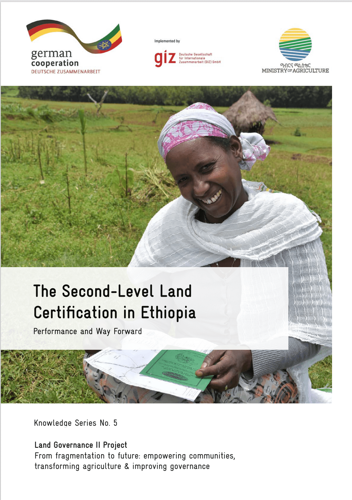
| Land Portal
There are 23 content items of different types and languages related to spatial units on the Land Portal.

spatial units

Single area (or multiple areas) of land and/or water, or a single volume (or multiple volumes) of space

Displaying 1 - 10 of 11
Chad - An Analysis of Constraints and Opportunities in the Development of the Agriculture Subsector
Reports & Research
January 2022
Chad

This Chad agriculture subsector review investigates the state of knowledge, key gaps and recent developments in relation to constraints to the sector and proposes policy actions and levers for future structural transformation of the sector. First, the report examines the opportunities for further development of the most important cash and staple crop value chains in Chad.

Manuals & Guidelines
October 2021
Global

The Open Up Guide on Land Governance is a resource  aimed to be used by governments from developing countries to collect and release land-related data to improve data quality, availability, accessibility and use for improved citizen engagement, decision making and innovation. It sets out:

Guide pour l’ouverture des donn es ouvertes
Manuals & Guidelines
October 2021
Global

Les Open Up Guides sont des outils pratiques développés par l’ODC et ses partenaires thématiques pour aider les gouvernements et d’autres acteurs à utiliser la publication d’ensembles de données stratégiques pour relever les principaux défis politiques.

Journal Articles & Books
Peer-reviewed publication
February 2021
Africa
Americas
Asia
Europe
Oceania
Antarctica

Fit-for-purpose land administration (FFPLA) concept is widely applied in the emerging land administration systems (LASs). This paper aims to contribute to the development of evaluation of the spatial aspect of FFPLA.

Manuals & Guidelines
May 2020
Ethiopia
Global

This guide identifies lessons learned and outlines critical steps that countries can apply to their own rural land administration programs as they strive to ensure these programs become more gender and socially inclusive. The document provides a valuable learning resource to help governments and communities implement inclusive land programs.

Peer-reviewed publication
May 2020
Rwanda

This paper aims at analysing the extent to which spatial data are accessed and shared among stakeholders. It also uses Social Network Analysis to investigate institutional and individual behaviour in that process. Finally, it investigates the level of cooperation of all involved actors towards Spatial Data Infrastructure development.

an open up guide on land governance
Conference Papers & Reports
March 2020
Global

This report provides a summary of an online workshop on March 16th 2020, organised in place of a planned fringe meeting of the World Bank Land and Poverty Conference which was cancelled due to the COVID-19 pandemic. The 2-hour digital workshop brought together over 40 participants from across the world to discuss key data and key open data use-cases for land governance.

Peer-reviewed publication
January 2020
Ethiopia
Rwanda

Spatial data are a basis in development of multipurpose cadastre. This paper aims to evaluate spatial data acquisition and management techniques for multipurpose cadastre in Ethiopia and Rwanda. The research was conducted using a qualitative research method, a review of existing literature on spatial data acquisition and management techniques for cadastral purposes.

Mutations du système agraire dans le Département de la Nya, région du Logone Oriental au Sud du Tchad
Reports & Research
October 2017
Chad

La région du Logone Oriental est une zone pétrolifère à vocation
agricole. Plus de 80 % de la population vit des activités agropastorales. Dans
les années 2000, la croissance de la population et la mise en place des
infrastructures pétrolières a conduit à une restriction des terres agricoles. Dans le

Conference Papers & Reports
December 2016

Guidance and security in large public buildings such as airports, museums and shopping malls requires much more information that traditional 2D methods offer. Therefore 3D semantically-reach models have been actively investigated with the aim to gather knowledge about availability and accessibility of spaces.

Share this page