Why should land stakeholders care about the data that you work with in Senegal?
Spatial planning, my field of expertise, is intrinsically linked to land management. Planning decisions directly influence land use, value, and stewardship, while conversely, land dynamics can impact land-use strategies.
Furthermore, land-use planning delineates administrative boundaries for local authorities, preventing the allocation of land beyond their jurisdiction and mitigating potential conflicts. Spatial planning documents outline zoning purposes, infrastructure locations, and conservation measures. To ensure territorial coherence and accurately assess land values, land projects must adhere to these plans. For instance, the development of a new commercial zone or transportation network can significantly increase surrounding land values.
How did you get involved in open data, and what sparked your interest?
I work in the field of regional planning and development. In these areas, data proficiency is crucial for effective spatial planning. However, access to planning data is often impeded by the lack of collection, updating, or public dissemination of essential data such as land use, infrastructure, demographics, and environmental information.
Even when data is accessible, its quality can be a significant issue. Inaccurate, incomplete, or outdated data can lead to flawed planning decisions. Furthermore, inconsistencies in data standards hinder data exchange and integration across agencies and departments. Legal and regulatory restrictions, often justified by confidentiality concerns, can also limit data access. In some cases, open data may not be freely available, restricting access for certain organizations or individuals.
Therefore, promoting open data policies is essential to enhance the availability, quality, and utilization of planning data.
What motivates you to believe in open data?
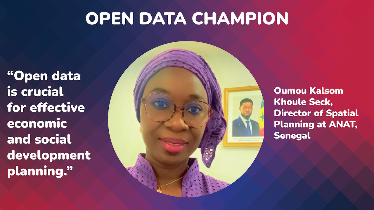
Open data is crucial for effective economic and social development planning. By increasing transparency in public policy governance, open data empowers decision-makers to assess policy outcomes and inform future actions based on data analysis. This leads to more informed and effective decision-making. However, open data also presents challenges related to data quality, user training, and privacy protection.
What is your vision of open data in the land sector in Senegal? Has this vision evolved over time?
Opening up land data in Senegal has the potential to revolutionize land management and strengthen good governance practices. By fostering transparency, participation, and data-driven decision-making, all stakeholders can collaborate more effectively to achieve sustainable and equitable land resource management. This is essential for the country's socioeconomic development and social cohesion. However, as noted earlier, data reliability and personal data protection remain significant challenges.
Can you name your greatest achievement in the open data sector to date?
The National Agency for Territorial Development (ANAT) analyzes, stores, and utilizes geographic and socioeconomic data. As part of the National Geomatics Plan, a web portal has been established to provide users with access to data on administrative boundaries, topography, and more. This data can be downloaded in shapefile format. The National Geomatics Plan (PNG), initiated by the Senegalese government, is the result of a partnership with all geospatial data producers.
The aim is to set up the Senegal Geospatial Data Infrastructure, a strategic tool for sharing knowledge and optimizing territorial development for the benefit of all.
What are the main challenges you see in creating an open data system in Senegal?
The primary challenges in establishing an open data system in Senegal, as in many nations, are:
- Technical infrastructure: Developing appropriate technology to collect, store, and share data.
- Human capacity: Providing training and developing skills in open data management and utilization among potential users.
- Data quality: Ensuring data is reliable, accurate, and up-to-date.
- Data reuse: Creating clear standards and protocols for data sharing and access to facilitate reuse.
- Confidentiality and security: Protecting sensitive information while promoting openness.
- Stakeholder engagement: Effectively communicating and involving all relevant parties.
- Political support: Securing necessary political backing.
- Sustainability and financing: Establishing long-term funding and operational plans.
How have you met these challenges in your work?
The Senegalese government has established a national geomatics and modernization program overseen by the Inter-Institutional Coordination and Consultation Group for Geomatics (GICC). The GICC serves as a framework for integrating geographic information into government ministries' plans and strategies.
As part of this program, a data-sharing portal has been launched. This national portal for Senegal's geospatial data infrastructure facilitates access to and distribution of high-quality geographic information.
ANAT is also dedicated to modernizing and expanding the national geodetic network. Additionally, a project to harmonize reference frames enables alignment with the International Terrestrial Reference Frame (ITRF 2000), which utilizes the Global Navigation Satellite System (GNSS). This reference frame is outlined in the draft decree of Law 2021-04 of January 12, 2021, establishing guidelines for regional planning and sustainable development (LOADT).
How do you encourage others to support open data practices?
To foster support for open data practices, we must effectively communicate and raise awareness of its benefits. Subsequently, training various stakeholders is essential to empower them to address open data challenges and drive improved decision-making for economic, social, and endogenous development.
About Oumou Kalsom Khoule Seck
Oumou Kalsom Khoule Seck is a seasoned planning engineer with extensive experience in urban development, territorial planning, and socio-economic analysis. Her career has spanned various roles within the public and private sectors, including project manager for the Urban Development Strategy for Grand-Dakar (UN Habitat), land operations expert for the Millennium Challenge Account, head of the planning and monitoring-evaluation unit at ANAT, socio-economic consultant for impact studies, and planning consultant.
Currently, as Director of Spatial Planning at ANAT, Oumou Kalsom oversees a team of planners, sociologists, statisticians-economists, and geographers, coordinating efforts to develop and implement sustainable urban and territorial planning strategies. Her expertise in planning, decentralization, and territorial development has contributed significantly to the advancement of urban planning initiatives in Senegal.


