page search

Issuesland information systemsLandLibrary Resource
There are 909 content items of different types and languages related to land information systems on the Land Portal.
Displaying 109 - 120 of 182

The Challenge of Spatial Information Accessibility for Agricultural Policies: Case of Pakistan

Journal Articles & Books
Peer-reviewed publication
National Policies
August, 2020
Asia
Pakistan

Agriculture is directly linked to the socio-economic development of every region. Agriculture impacts us all, whether we are seeking food security, better health or striving to conserve natural resources. Goal 2 of Sustainable Development Goals (SDGs) underlines the significance of agriculture as a means to achieve food security. United Nations in its recently published report titled “World Economic Situation and Prospects 2020”(UN, 2020) has declared agriculture as one of the global priorities for achieving high-quality health care and formal employment opportunities.

Creating a LandVoc Community of Experts

Conference Papers & Reports
August, 2020
Global

This report provides a summary of a two-part online workshop in June 2020 to explore the creation of a community of experts to support the ongoing development of the LandVoc concept scheme, and to support ongoing contributions from the LandVoc community to AGROVOC. The workshops brought together 35 experts mprove awareness of the importance of controlled and multilingual vocabularies, and of value of semantics to management. of agriculture and land related knowledge.  

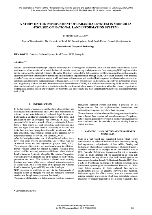
A Study on the Improvement of Cadastral System in Mongolia -Focused on National Land Information System

Peer-reviewed publication
September, 2015
Mongolia

National land information system (NLIS) is an essential part of the Mongolian land reform. NLIS is a web based and centralized system which covers administration of cadastral database all over the country among land departments. Current ongoing NLIS implementation is vital to improve the cadastral system in Mongolia. This study is intended to define existing problems in current Mongolian cadastral system and propose administrative institutional and systematic implementation through NLIS.

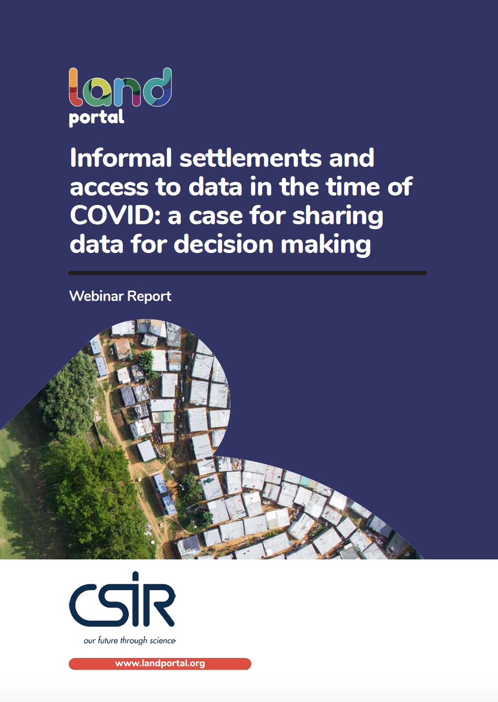
Informal settlements and access to data in the time of COVID: a case for sharing data for decision making

Reports & Research
October, 2020
Southern Africa

The spread of COVID-19 in South Africa and other countries in the region has again brought to the fore the fact that very dense, under-serviced, mostly informal, settlements are not healthy places to live. They are also places where the spread of a disease is difficult to prevent or manage.

The kind of emergency response that was required to address the imminent spread of COVID-19 highlighted the widespread vulnerability of the poorest, compounded by highly unequal access to services and ongoing unhealthy living conditions.

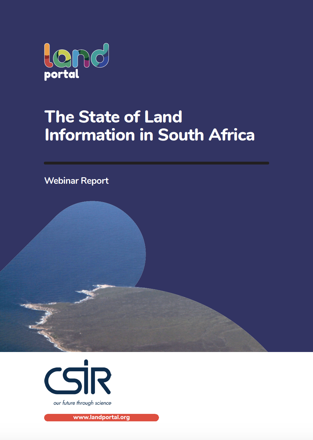
The State of Land Information in South Africa

Reports & Research
October, 2020
Southern Africa

What is the state of land information in South Africa? Is there really a lack of land data to support decisions and to improve land governance? This was the point of departure that a team of specialists grappled with to uncover the many different sources of land data and information available in South Africa. For the very first time, they attempted to systematically review and categorize the entire ecosystem of data and information related to key land topics in the country, assessing over 104 land datasets from 59 different sources.

Informal Land Delivery and Tenure Security Institutions in Benin City, Nigeria

Journal Articles & Books
December, 2019
Nigeria

The informal sector in urban land supply has continued to meet the increasing demand for urban land owing to the deficiencies of the formal sector in Nigeria. But tenure security and equity in land supply have become the major issues that have evoked much concern in the sector. This article seeks to understand the provisions of tenure rights through customary institutions not as the binary opposite of the formal land titling but as a part of the continuum that includes the formal system in Benin City.

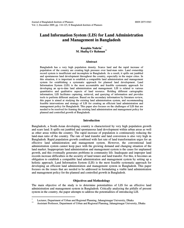
Land Information System (LIS) for Land Administration and Management in Bangladesh

Peer-reviewed publication
November, 2009
Bangladesh

Bangladesh has a very high population density. Scarce land and the rapid increase of population of the country are creating high pressure over land-man ratio. Land ownership record system is insufficient and incomplete in Bangladesh. As a result, it spills out jumbled and spontaneous land development throughout the country, especially in the major cities. In this situation, it is important to establish a compatible land administration and management system for establishing a systematic approach for planned land development.

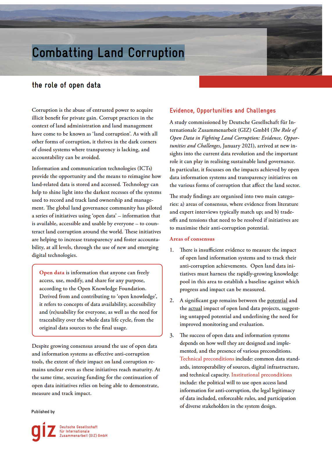
Combatting Land Corruption

Policy Papers & Briefs
November, 2020
Global

Corruption is the abuse of entrusted power to acquire illicit benefit for private gain. Corrupt practices in the context of land administration and land management have come to be known as ‘land corruption’. As with all other forms of corruption, it thrives in the dark corners of closed systems where transparency is lacking, and accountability can be avoided.

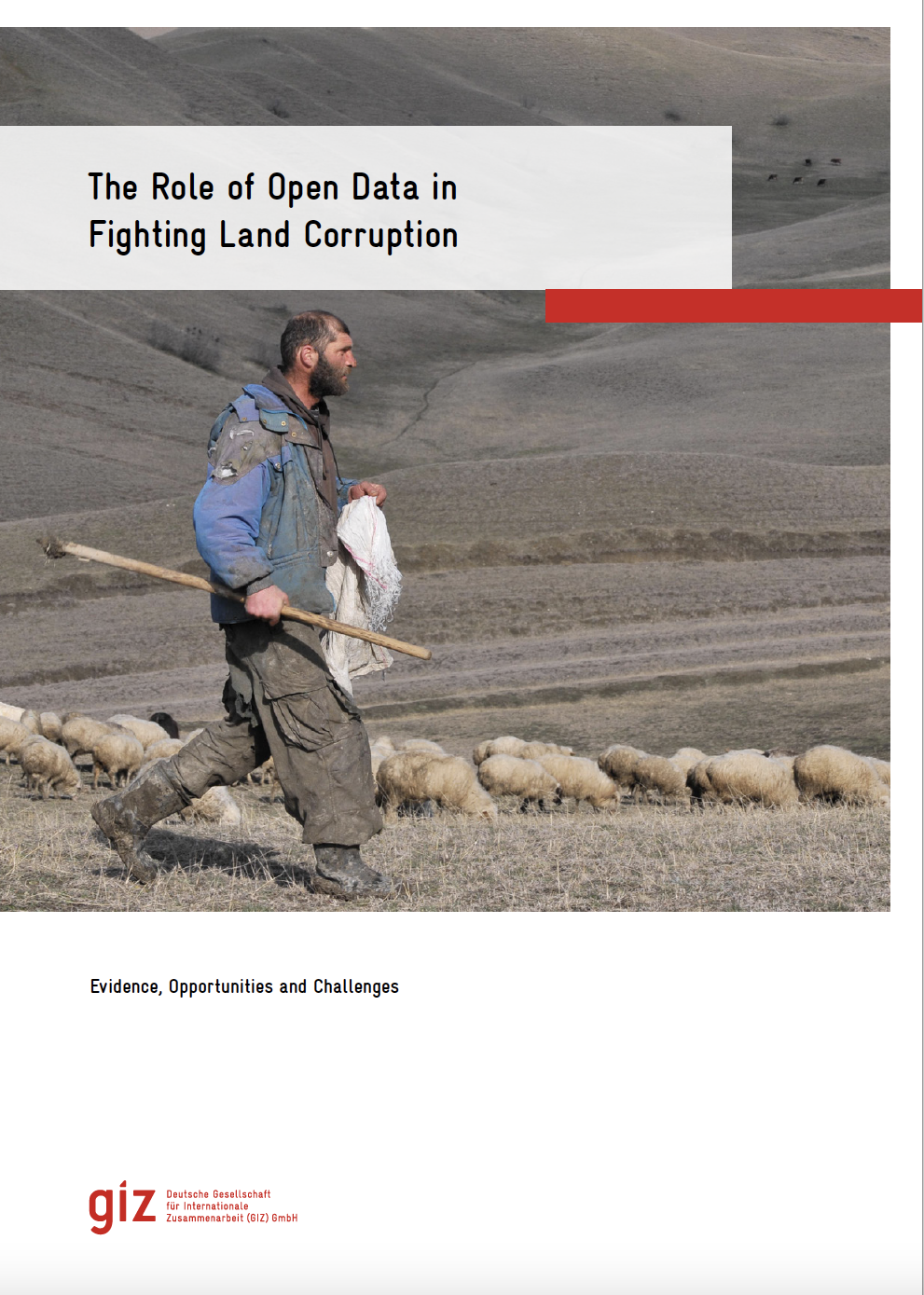
The role of open data in fighting land corruption

Reports & Research
December, 2020
Global

The rapid progress in digital information and communication technologies  (ICTs) comes with both fresh opportunities and new challenges for different sectors and actors adopting the new solutions that become available over time. Since the mid-2000s, the global land governance community has piloted a series of open data and transparency initiatives largely based on such digital innovations, aiming at increasing accountability and counteracting corruption in the land sector, both at the local and global level.

Spatial aspect of fit-for-purpose land administration for emerging land administration systems: a conceptual framework for evaluation approach

Journal Articles & Books
Peer-reviewed publication
January, 2021
Africa
Americas
Asia
Europe
Oceania
Antarctica

Fit-for-purpose land administration (FFPLA) concept is widely applied in the emerging land administration systems (LASs). This paper aims to contribute to the development of evaluation of the spatial aspect of FFPLA. A review of evaluation models for LASs is made in relation with rationale of FFPLA to identify gaps related to evaluation of a FFPLA and to build up milestones and measurement criteria.

Evaluating Spatial Data Acquisition and Management Techniques for Multipurpose Cadastre in Ethiopia and Rwanda (Preliminary Results)

Peer-reviewed publication
December, 2019
Ethiopia
Rwanda

Spatial data are a basis in development of multipurpose cadastre. This paper aims to evaluate spatial data acquisition and management techniques for multipurpose cadastre in Ethiopia and Rwanda. The research was conducted using a qualitative research method, a review of existing literature on spatial data acquisition and management techniques for cadastral purposes. The empirical data have also been collected.