Agents als concept voor het modelleren van de ruimte
De afzonderlijke en gecombineerde werking van 2 technieken, Cellulaire Automata en Multi Agent Simulatie, voor het modelleren van ruimtelijke processen worden besproken
Technische verkenning vastlegging perceelsgrenzen
Bij steeds meer beleid en wetgeving spelen regelingen een rol die betrekking hebben op individuele percelen. Voor de uitvoering en evaluatie van deze regelingen bestaat er daarom grote behoefte aan perceelsgebonden informatie. Om een efficiënte verzameling, opslag en verwerking van deze informatie mogelijk te maken speelt geografische vastlegging van de grenzen van percelen een belangrijke rol.
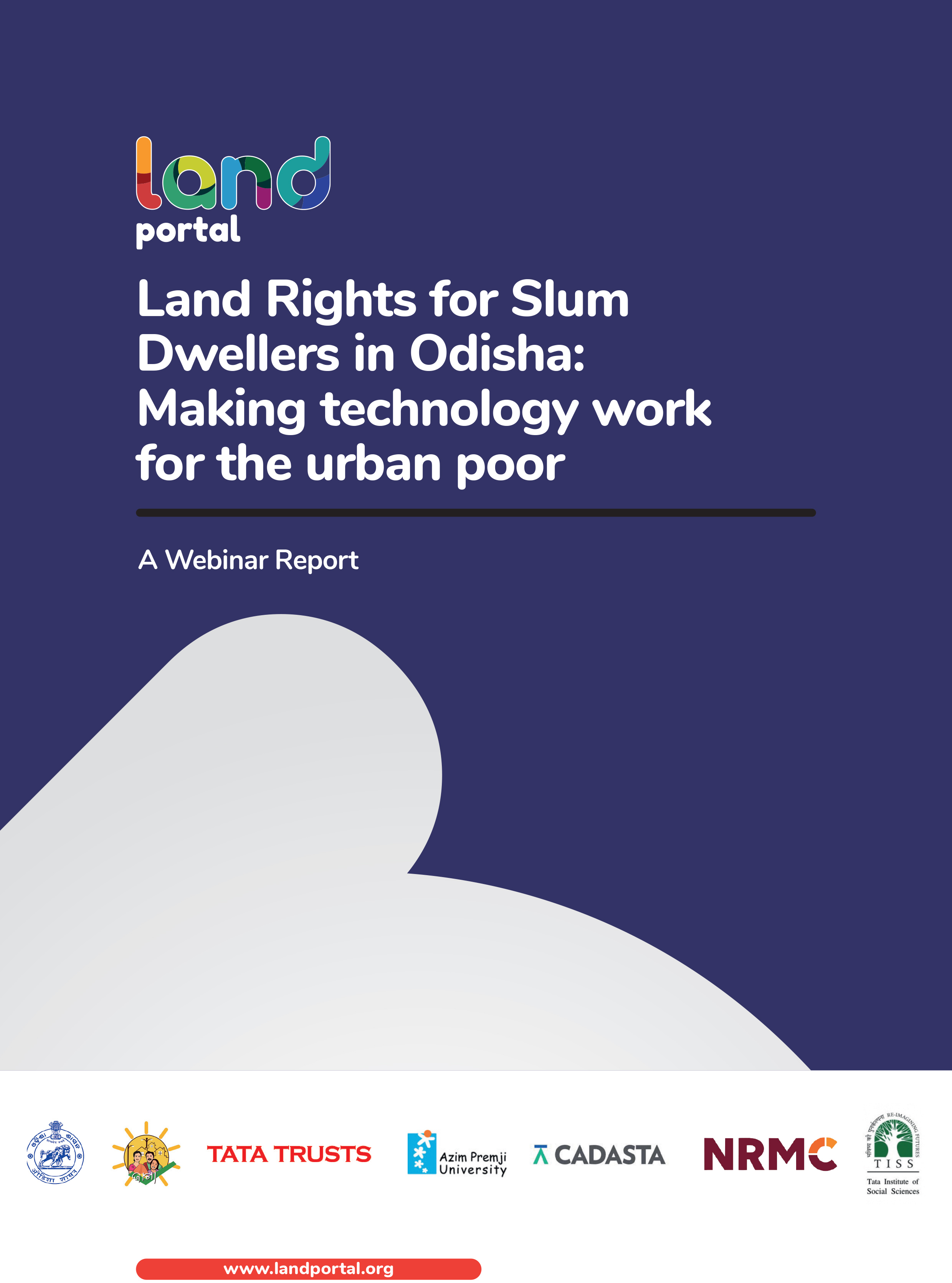
Land Rights for Slum Dwellers in Odisha: Making technology work for the urban poor
The webinar Land Rights for Slum Dwellers in the East Indian State Odisha: Making technology work for the urban poor took place on 14 February, 2018.
The webinar discussed anecdotes of the land rights policy in the state, application of innovative technology, processes and partnerships in the project execution and best practices followed in gaining rights for slum dwellers.
This report provides a brief summary of the webinar dialogue and the main points that emerged.
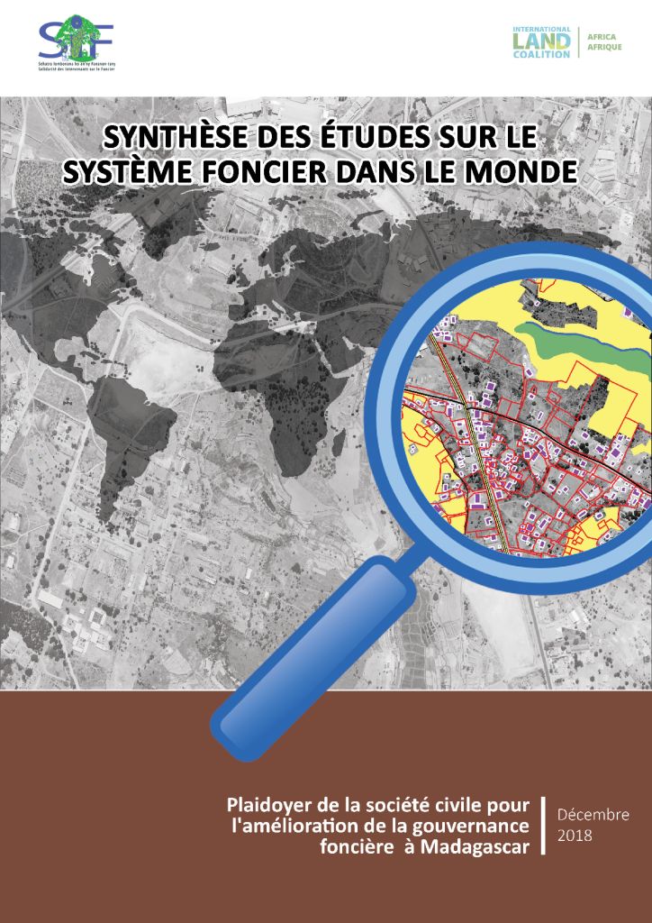
Synthèse des études sur le système foncier dans le monde
Date: 2018
Source: Foncier & Développement
Produit par la plateforme des organisations de la société civile oeuvrant dans le foncier à Madagascar et en collaboration avec l’International Land Coalition, ce document présente une synthèse des études sur le système foncier dans de nombreux pays.
Principles and Applications of the Global Human Settlement Layer as Baseline for the Land Use Efficiency Indicator—SDG 11.3.1
The Global Human Settlement Layer (GHSL) produces new global spatial information, evidence-based analytics describing the human presence on the planet that is based mainly on two quantitative factors: (i) the spatial distribution (density) of built-up structures and (ii) the spatial distribution (density) of resident people. Both of the factors are observed in the long-term temporal domain and per unit area, in order to support the analysis of the trends and indicators for monitoring the implementation of the 2030 Development Agenda and the related thematic agreements.
OPEN FORIS y SEPAL - Sistema de acceso de datos de observación de la tierra, procesamiento y análisis para el monitoreo de la superficie terrestre
OPEN FORIS Y SEPAL (Sistema de acceso de datos de observación de la tierra, procesamiento y análisis para el monitoreo de la superficie terrestre)
Innovador software de código abierto para ayudar a los países a medir, monitorear y reportar sobre los bosques y el uso de la tierra, que ofrece poder de cómputo y acceso sin parangón a datos satelitales pormenorizados y allana el camino para conseguir mejores planes de mitigación del cambio climático y políticas de uso de la tierra más informadas.Bulletin d'information sur les glossines et les trypanosomoses, Année 2015, Volume 38, Partie 1
Le Bulletin d’Information sur les Glossines et les Trypanosomoses a été créé pour diffuser les informations courantes sur tous les aspects de la recherche et de la lutte contre les glossines et la trypanosomose à l’intention des institutions et des chercheurs qui s’intéressent au problème de la trypanosomose africaine.
Geospatial datasets and analyses for an environmental approach to African trypanosomiasis
Geospatial datasets and analysis techniques based on geographic information systems (GIS) have become indispensable tools in the planning, implementation and evaluation of a wide range of development programmes, including actions addressing sustainable agriculture and rural development. The growing volume of spatially explicit environmental information, combined with the widening utilization of GIS, allows ecological and socioeconomic factors to be integrated more fully into the decision-making process, thus laying the foundation for a holistic approach to development.
Manual para la preparación de datos geográficos para la herramienta de ASIS-País
Este manual tiene como objetivo familiarizar a los usuarios de la herramienta FAO-ASIS País con la conversión de datos del Sistema de Información Geográfica (SIG) a los formatos adecuados para alimentar la herramienta.
Este manual (1) forma parte de una serie de 3 manuales para el uso de la herramienta ASIS-PaísManual de usuario donde se describen los pasos a seguir para transformar los datos de información geográfica como mapas de uso actual de la tierra y regiones administrativas en el formato que requiere la herramienta ASIS-PAÍS.

