page search

There are 1, 167 content items of different types and languages related to geographical information systems on the Land Portal.
Displaying 469 - 480 of 578

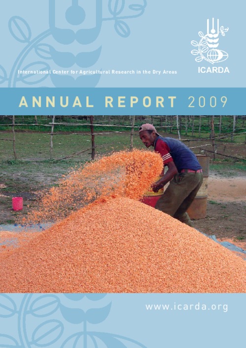
ICARDA Annual Report 2009

Reports & Research
July, 2010
Global

The dry areas face severe challenges to sustainable development. The biggest challenges – food insecurity, water scarcity, land degradation, and climate change – are closely inter-related. The effects of climate change will be felt globally, but the dry areas will be particularly hard hit. Climate change will exacerbate water scarcity, rainfall variability, and the decline in the natural resource base, and thus could have a profound impact on food security.

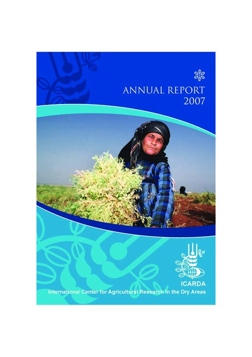
ICARDA Annual Report 2007

Reports & Research
November, 2008
Global

In 2007, ICARDA celebrated its thirtieth anniversary. The Center and its partners have worked together for three decades to improve the food security and livelihoods of the poor in dry and marginal areas. During this time, we have seen significant changes in the biophysical environment and in socio-economic circumstances. New farming technologies, new livelihood options, and better policies and institutions are speeding up agricultural development in the world's dry areas, and we are proud of the role we have played in this progress.

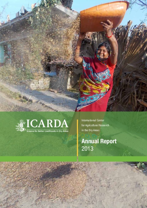
ICARDA Annual Report 2013

Reports & Research
December, 2014
Global

2013 has been a fruitful year for ICARDA marked by research accomplishments and a sense of gratitude. Our longstanding partner countries provided important support in making decentralization of the Center’s research a reality. This transition positions our research programs to more expressly target agroecosystem-based solutions, needed for wider impacts.

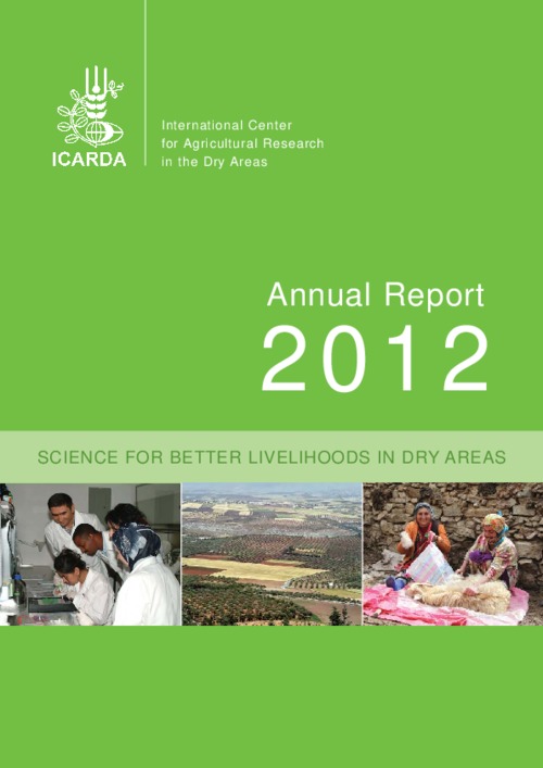
ICARDA Annual Report 2012

Reports & Research
January, 2013
Global

For ICARDA, 2012 has been a time of change and evolution. We have been busy tackling the many issues of dryland agriculture and global food production against a backdrop of focusing our efforts as a force for change for people living in the world's drylands and our areas of scientific expertise.

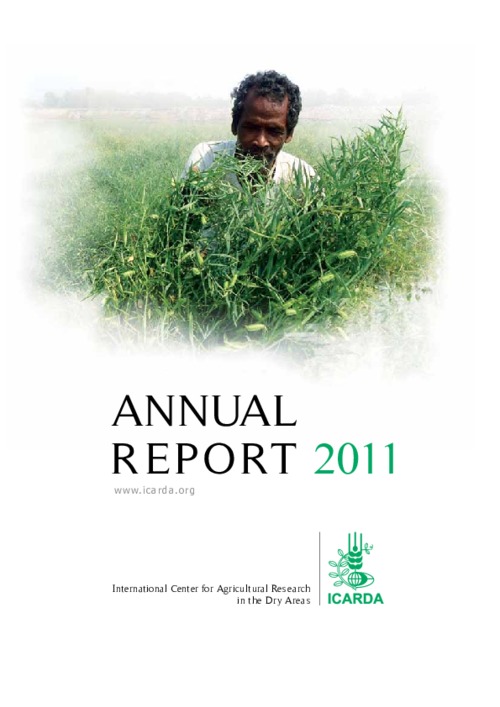
ICARDA Annual Report 2011

Reports & Research
July, 2012
Global

Poverty, food insecurity, natural resource degradation and climate change are global challenges; but they impact most severely on rural communities in dry areas. Addressing these challenges requires a combination of good science, integrated research-for-development approaches, and effective partnerships. As this report illustrates, all three elements are in place, resulting in new technologies and tangible benefits in more than 40 countries.

ICARDA Annual Report 2001

Conference Papers & Reports
June, 2002
Syrian Arab Republic
Western Asia

The world is witnessing a period in its history when the increasing socio-political upheavals are taking the lives of thousands, and destroying the natural wealth of our planet. Poverty and food insecurity are two key forces driving this destruction. These ongoing problems compound those already being posed by an increasing shortage of water, scarcity of productive land, an expanding population, and the threat of global warming.

ICARDA Annual Report 2002

Reports & Research
May, 2003
Armenia
Azerbaijan
Eritrea
Ethiopia
Georgia
Kazakhstan
Kyrgyzstan
Pakistan
Sudan
Tajikistan
Turkmenistan
Uzbekistan
Eastern Africa
Northern Africa
Southern Asia
Central Asia
Western Asia

The year 2002 marked ICARDA's 25th anniversary, and coincided with several honors and awards for the center's excellence in research. Research on developing high-yielding kabuli chickpea varieties that thrive in cool, wet winter conditions earned the 2002 King Baudouin Award of the Consultative Group on International Agricultural Research (CGIAR), jointly with the International Crops Research Institute for the Semi-Arid Tropics (ICRISAT), which focuses on desi chickpea.

Towards an open up guide on land governance

Conference Papers & Reports
February, 2020
Global

This report provides a summary of an online workshop on March 16th 2020, organised in place of a planned fringe meeting of the World Bank Land and Poverty Conference which was cancelled due to the COVID-19 pandemic. The 2-hour digital workshop brought together over 40 participants from across the world to discuss key data and key open data use-cases for land governance. This report is written based on workshop recordings and shared notes.

Detecting Land Abandonment in Łódź Voivodeship Using Convolutional Neural Networks

Peer-reviewed publication
March, 2020
Poland

The wide availability of multispectral satellite imagery through projects such as Landsat and Sentinel, combined with the introduction of deep learning in general and Convolutional Neural Networks (CNNs) in particular, has allowed for the rapid and effective analysis of multiple classes of problems pertaining to land coverage. Taking advantage of the two phenomena, we propose a machine learning model for the classification of land abandonment.

Quantification of Erosion in Selected Catchment Areas of the Ruzizi River (DRC) Using the (R)USLE Model

Peer-reviewed publication
April, 2020
Democratic Republic of the Congo

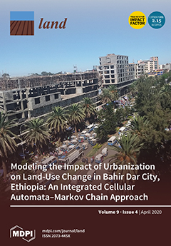
Inappropriate land management leads to soil loss with destruction of the land’s resource and sediment input into the receiving river. Part of the sediment budget of a catchment is the estimation of soil loss. In the Ruzizi catchment in the Eastern Democratic Republic of the Congo (DRC), only limited research has been conducted on soil loss mainly dealing with local observations on geomorphological forms or river load measurements; a regional quantification of soil loss is missing so far. Such quantifications can be calculated using the Universal Soil Loss Equation (USLE).

A Preliminary Study on The Formation of Land Legislation and Cadastre System in Sarawak, Malaysia

Peer-reviewed publication
April, 2019
Malaysia

Recent decades have witnessed a perceptible impact of land policy and cadastre on the urbanisation around the globe. Land legislation and cadastre system are the tools and mechanisms in order to achieve the objectives of land policy in delivering sustainable development. According to the Federal Constitution of Malaysia, article 74 empowers the State Legislative Assemblies to enact laws for the matters under the state list while land matters are one of the subjects under the list.

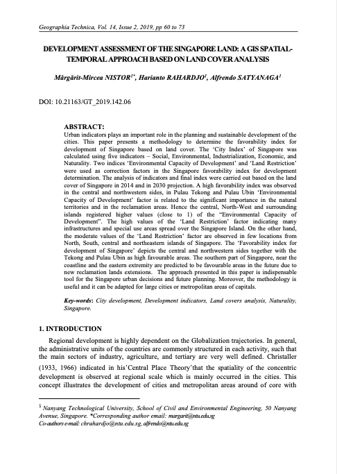
Development Assessment of the Singapore Land

Peer-reviewed publication
July, 2019
Singapore

Urban indicators plays an important role in the planning and sustainable development of the cities. This paper presents a methodology to determine the favorability index for development of Singapore based on land cover. The ‘City Index’ of Singapore was calculated using five indicators – Social, Environmental, Industrialization, Economic, and Naturality. Two indices ‘Environmental Capacity of Development’ and ‘Land Restriction’ were used as correction factors in the Singapore favorability index for development determination.