page search

Issuesland-use planningLandLibrary Resource
There are 6, 694 content items of different types and languages related to land-use planning on the Land Portal.
Displaying 5341 - 5352 of 6247

Urban Greenways: A Systematic Review and Typology

Peer-reviewed publication
February, 2020
Global

Greenways are multifunctional linear landscapes that provide a range of socio-ecological benefits. As a domain of landscape planning research, greenways gained traction in the late 20th century and today, there is substantial interest in greenway planning and design. This is especially true in urban areas, as noted at the sixth Fábos Conference on Landscape and Greenway Planning.

Land Use Planning

Manuals & Guidelines
February, 2012
Global

Land is a scarce resource increasingly affected by the competition of mutually exclusive uses. Fertile land in rural areas becomes scarcer due to population growth, pollution, erosion and desertification, effects of climate change, urbanization etc. On the remaining land, local, national and international users with different socioeconomic status and power compete to achieve food security, economic growth, energy supply, nature conservation and other objectives. Land use planning can help to find a balance among these competing and sometimes contradictory uses.

A Bottom-Up and Top-Down Participatory Approach to Planning and Designing Local Urban Development: Evidence from an Urban University Center

Peer-reviewed publication
April, 2020
Global

The urban area is characterized by different urban ecosystems that interact with different institutional levels, including different stakeholders and decision-makers, such as public administrations and governments. This can create many institutional conflicts in planning and designing the urban space. It would arguably be ideal for an urban area to be planned like a socio-ecological system where the urban ecosystem and institutional levels interact with each other in a multi-scale analysis.

Synthesis of agricultural land system change in China over the past 40 years

Peer-reviewed publication
January, 2019
China

In summary, China presents a particularly intriguing case for the study of land system dynamics with its spatial patterns of cropland and crops, crop structure and diversity, land transfer and consolidation, and land use intensity changes against the backdrop of its rapid socio-economic transformation, globalization, and environmental challenges. Moreover, after 40 years since the commencement of China’s Economic Reform and the de-collectivization of agriculture, it is a good time to review and reflect how China’s agricultural land systems have been transformed.

How Do Differences in Land Ownership Types in China Affect Land Development? A Case from Beijing

Peer-reviewed publication
January, 2017
China

China has a unique land use system in which there are two types of land ownership, namely, state-owned urban land and farmer collective-owned rural land. Despite strict restrictions on the use rights of farmer collective-owned land, rural land is, in fact, developed along two pathways: it is formally acquired by the state and transferred into state ownership, or it is informally developed while remaining in collective ownership.

Zoning Regulation as Land Use Control Instrument

Peer-reviewed publication
August, 2010
United States of America
Indonesia
Singapore

One of local government authorities is the implementation of land use planning. Due to implementation land use planning, controlling is needed as effort for the implementation is appropriate with the planning. According to Spatial Planning Act No.26/2007, land use control instruments are zoning regulation, permit, incentive and disincentive, and sanction. In Indonesia, zoning regulation is new instrument and only a few of city that have made and uses zoning regulation as land use control instrument.

Singapore as a sustainable city

Policy Papers & Briefs
August, 2019
Singapore

This paper outlines Singapore’s major sustainability challenges and its policy response in the areas of land use, transportation, waste management, water, and energy. We review the current and past Concept Plans from the perspective of sustainable land use and provide an overview of transportation policy in Singapore. We also examine Singapore’s policies to manage increasing wastes and review the four tap water management plan. Finally, we look at various initiatives by the government for sustainable use of energy.

Land Framework of Singapore

Policy Papers & Briefs
November, 2018
Singapore

Long-term planning and an efficient system of land administration and management have played a critical role in Singapore’s transformation from a colonial port to highly liveable global city.

Development Assessment of the Singapore Land

Peer-reviewed publication
July, 2019
Singapore

Urban indicators plays an important role in the planning and sustainable development of the cities. This paper presents a methodology to determine the favorability index for development of Singapore based on land cover. The ‘City Index’ of Singapore was calculated using five indicators – Social, Environmental, Industrialization, Economic, and Naturality. Two indices ‘Environmental Capacity of Development’ and ‘Land Restriction’ were used as correction factors in the Singapore favorability index for development determination.

Planning Our City

Reports & Research
November, 2012
Singapore

Cities as we know them today are already dramatically changing. Our living environments are reshaping the way we live.

This new ‘urban age’ presents

a unique opportunity for us to remake and reinvent our cities. How well we plan and design our living environments will matter.


Designing our city looks at how Singapore is planned for long-term sustainability, encouraging us to think about how we can shape it and new ideas that can transform our future.

Vertical cities as a solution for land scarcity: the tallest public housing development in Singapore

Peer-reviewed publication
May, 2004
Singapore

Singapore, whose land area is approximately 660km2, is one of the most densely populated cities in the world. In the 2001 Concept Plan, the Urban Redevelopment Authority estimated that Singapore would need 800000 more homes or 6400 ha of land to cater to a projected population of 5.5 million. Considering other competing demands for land resources, the 2001 Concept Plan has suggested constructing taller buildings. Thus, in August 2001, the Housing and Development Board initiated the development of a new 50-storeys public housing design.

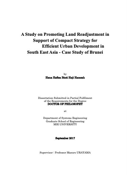
A Study on Promoting Land Readjustment in Support of Compact Strategy for Efficient Urban Development in South East Asia - Case Study of Brunei

Reports & Research
August, 2017
Brunei Darussalam
Thailand

Countries in South-East Asia are experiencing rapid urbanisation and Land Readjustment is one of the potential methods of land development that could help solve some of the urban problems such as urban sprawl and inadequate infrastructure. While Land Readjustment is beneficial, it is often very complex particularly for developing countries to undertake due to the weak institutional system and also lack of technology.