page search

Issuesland-use planningLandLibrary Resource
There are 6, 694 content items of different types and languages related to land-use planning on the Land Portal.
Displaying 5353 - 5364 of 6247

Land Use Pattern of Private Housing Development Since the Introduction of Brunei's Compact Strategy

Peer-reviewed publication
February, 2017
Brunei Darussalam

This study looks into the implementation of Brunei’s Master Plan proposal for compact strategy of developments within the designated Urban Footprint zone. Although the Master Plan lacks regulatory support, this study found that private housing developments have been mainly concentrated within the Urban Footprint zone and a more compact urban form through infill and higher density developments is being realized. This may be due to government administrative processes, housing trend and market demand.

From City- to Site-Dimension: Assessing the Urban Ecosystem Services of Different Types of Green Infrastructure

Peer-reviewed publication
May, 2020
United States of America

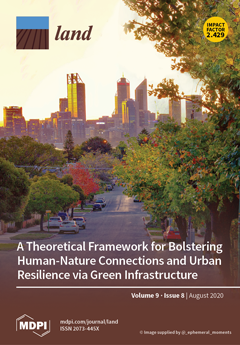
Cities have a wide variety of green infrastructure types, such as parks and gardens. These structures can provide important ecosystem services (ES) with a major impact on human well-being. With respect to urban planning, special consideration must be given to such green infrastructure types when implementing measures to maintain and enhance the quality of life. Therefore, generating knowledge on the urban ES of differently scaled green infrastructure types is important.

Sustainable Population Growth in Low-Density Areas in a New Technological Era: Prospective Thinking on How to Support Planning Policies Using Complex Spatial Models

Peer-reviewed publication
July, 2020
Global

Urban development is the result of the interaction between anthropogenic and environmental dimensions. From the perspective of its density, it ranges from high-density populated areas, associated with large cities that concentrate the main economic and social thrust of societies, to low-density populated areas (e.g., rural areas, small–medium-sized cities). Against the backdrop of the new technological and environmental era, this commentary offers insights on how to support spatial planning policies for sustainable urban growth in low-density areas.

30 Years of Land Cover Change in Connecticut, USA: A Case Study of Long-Term Research, Dissemination of Results, and Their Use in Land Use Planning and Natural Resource Conservation

Peer-reviewed publication
August, 2020
Norway
United States of America

Remotely sensed land cover data can be a tremendous resource to land use decision makers, yet there is often a disconnect between the worlds of remote sensing and local government. The Connecticut’s Changing Landscape project is focused on bridging this gap. The project analyzes changes to the state’s landscape using Landsat-derived 30-m land cover and cross-correlation analysis. It includes seven dates spanning 30 years, from 1985 to 2015.

Characterising Land Cover Change in Brunei Darussalam’s Capital District

Journal Articles & Books
June, 2020
Brunei Darussalam

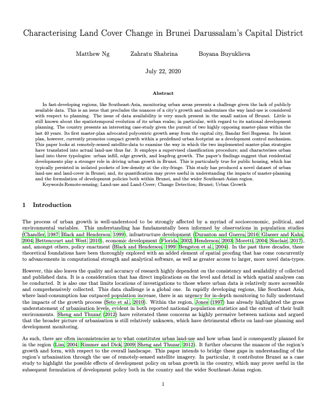
In fast-developing regions, like Southeast-Asia, monitoring urban areas presents a challenge given the lack of publicly available data. This is an issue that precludes the nuances of a city’s growth and undermines the way land-use is considered with respect to planning. The issue of data availability is very much present in the small nation of Brunei. Little is still known about the spatiotemporal evolution of its urban realm; in particular, with regard to its national development planning.

Improving Quality of Land Administration in Sri Lanka

Reports & Research
May, 2017
Sri Lanka

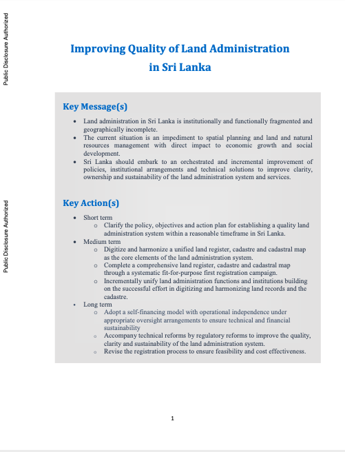
Land administration in Sri Lanka is institutionally and functionally fragmented and geographically incomplete. The current situation is an impediment to spatial planning and land and natural resources management with direct impact to economic growth and social development. Sri Lanka should embark to an orchestrated and incremental improvement of policies, institutional arrangements and technical solutions to improve clarity, ownership and sustainability of the land administration system and services.

A Guide to Public Green Space Planning for Urban Ecosystem Services

Peer-reviewed publication
September, 2020
United States of America

Street trees, native plantings, bioswales, and other forms of green infrastructure alleviate urban air and water pollution, diminish flooding vulnerability, support pollinators, and provide other benefits critical to human well-being. Urban planners increasingly value such urban ecosystem services (ES), and effective methods for deciding among alternative planting regimes using urban ES criteria are under active development.

Integrating Ecosystem Services into Land-Use Modeling to Assess the Effects of Future Land-Use Strategies in Northern Ghana

Peer-reviewed publication
September, 2020
Ghana
United Kingdom

In West Africa, where the majority of the population relies on natural resources and rain-fed agriculture, regionally adapted agricultural land-use planning is increasingly important to cope with growing demand for land-use products and intensifying climate variability. As an approach to identify effective future land-use strategies, this study applied spatially explicit modeling that addresses the spatial connectivity between the provision of ecosystem services and agricultural land-use systems.

Projections of Future Land Use in Bangladesh under the Background of Baseline, Ecological Protection and Economic Development

Peer-reviewed publication
March, 2017
Bangladesh

Land is one of the important input resources in a highly populous and land-scarce country such as Bangladesh. When different factors change (such as, geophysical, proximity, socioeconomic and climatic), there are dramatic changes in the spatial pattern of land uses. Thus, shedding light on the dynamics of land use and land cover changes has great importance for finding the changing pattern of land use in Bangladesh.

Creating land markets for rural revitalization: Land transfer, property rights and gentrification in China

Peer-reviewed publication
October, 2020
China

The reform of collective land ownership in post-socialist contexts offers a useful window into how changes in property rights shape and structure the dynamics of territorial transformation. Focusing on China's rural revitalization campaign, this paper demonstrates how the state, as creator and regulator of land rights and property titles, facilitates landscape change by relaxing regulations over the lease of rural land and creating market institutions that favour land transfers to organized capital, in this case tourism companies and property developers.

Land Information System (LIS) for Land Administration and Management in Bangladesh

Peer-reviewed publication
November, 2009
Bangladesh

Bangladesh has a very high population density. Scarce land and the rapid increase of population of the country are creating high pressure over land-man ratio. Land ownership record system is insufficient and incomplete in Bangladesh. As a result, it spills out jumbled and spontaneous land development throughout the country, especially in the major cities. In this situation, it is important to establish a compatible land administration and management system for establishing a systematic approach for planned land development.