page search

Issuesland useLandLibrary Resource
There are 9, 839 content items of different types and languages related to land use on the Land Portal.
Displaying 2161 - 2172 of 8566

Guidelines for Linking Population and Housing Censuses with Agricultural Censuses with selected country practices

Journal Articles & Books
November, 2012
Burkina Faso
Bangladesh
Mauritius
Belize
Zambia
Mozambique
Fiji
China
Indonesia
Eswatini
Canada
Sierra Leone
Seychelles
Nepal
Cyprus
Uganda
Albania
Italy
Botswana
Poland
Papua New Guinea
Africa
Americas

This publication aims to provide practical guidance for population and housing census and agricultural census planners looking to implement a cost-effective census strategy by coordinating the population and housing census with the agricultural census.

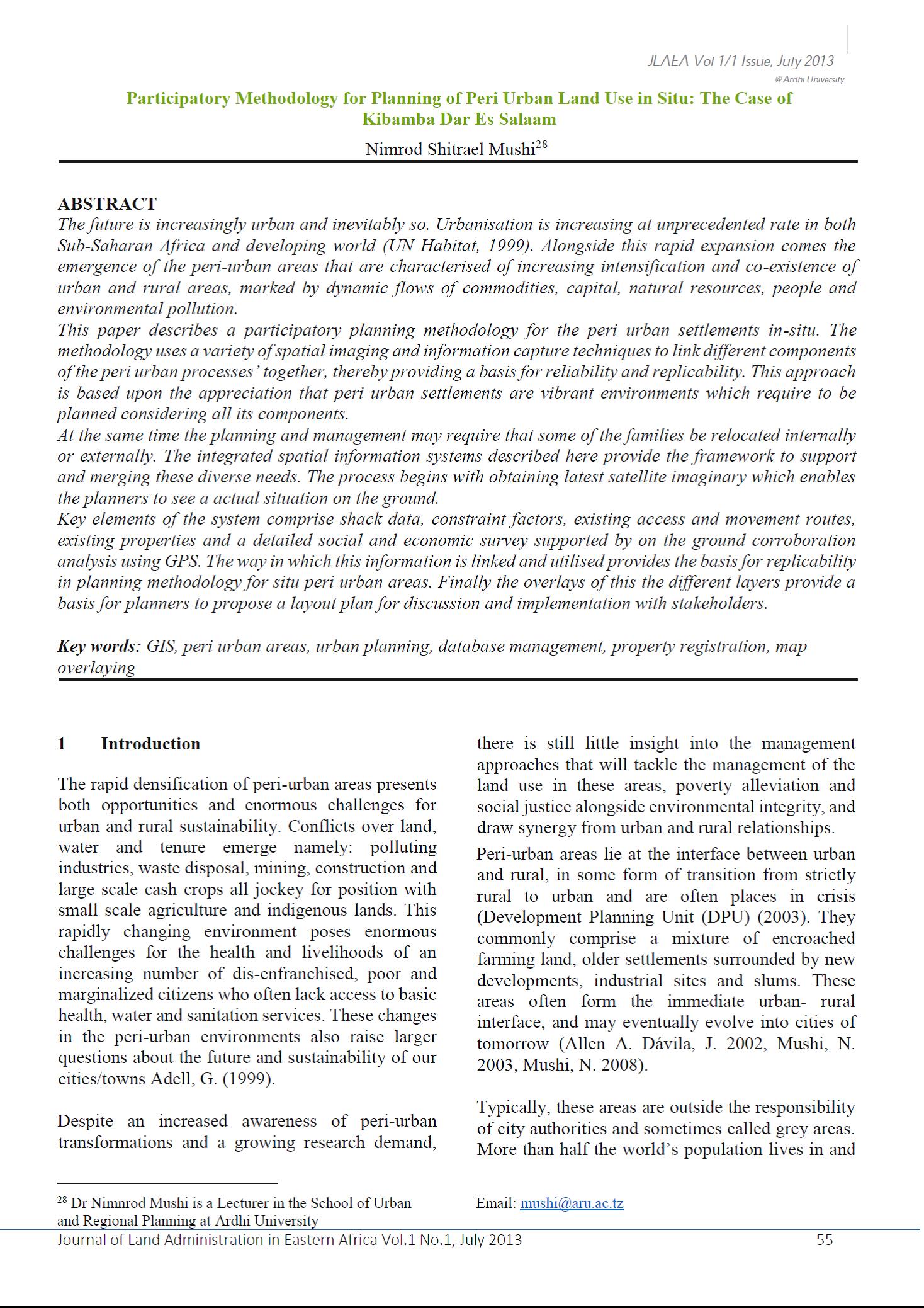
Participatory Methodology for Planning of Peri Urban Land Use in Situ

Journal Articles & Books
June, 2013
Tanzania

The future is increasingly urban and inevitably so. Urbanisation is increasing at unprecedented rate in both Sub-Saharan Africa and developing world (UN Habitat, 1999). Alongside this rapid expansion comes the emergence of the peri-urban areas that are characterised of increasing intensification and co-existence of urban and rural areas, marked by dynamic flows of commodities, capital, natural resources, people and environmental pollution.

Comparing Path Dependence and Spatial Targeting of Land Use in Implementing Climate Change Responses

Peer-reviewed publication
September, 2014

Land use patterns are the consequence of dynamic processes that often include important legacy issues. Evaluation of past trends can be used to investigate the role of path dependence in influencing future land use through a reference “business as usual” (BAU) scenario. These issues are explored with regard to objectives for woodland expansion in Scotland as a major pillar of climate change policy.

Governance of Land Use Planning to Reduce Fire Risk to Homes Mediterranean France and California

Peer-reviewed publication
June, 2017

Wildfire is a natural part of forested Mediterranean systems. As humans continue to live and build housing in these areas, wildfire is a constant threat to homes and lives. The goal of this paper is to describe aspects of land-use planning that are used to reduce wildfire risk in institutionally divergent regions; southern France and California.

“Nothing Is Like It Was Before”: The Dynamics between Land-Use and Land-Cover, and Livelihood Strategies in the Northern Vietnam Borderlands

Peer-reviewed publication
December, 2015

Land uses are changing rapidly in Vietnam’s upland northern borderlands. Regional development platforms such as the Greater Mekong Subregion, state-propelled market integration and reforestation programs, and lowland entrepreneurs and migrants are all impacting this frontier landscape. Drawing on a mixed methods approach using remote sensing data from 2000 to 2009 and ethnographic fieldwork, we examine how land-use and land-cover change (LULCC) has occurred across three borderland provinces—Lai Châu, Lào Cai and Hà Giang—with high proportions of ethnic minority semi-subsistence farmers.

Typologies and Spatialization of Agricultural Production Systems in Rondônia, Brazil: Linking Land Use, Socioeconomics and Territorial Configuration

Peer-reviewed publication
June, 2016

The current Amazon landscape consists of heterogeneous mosaics formed by interactions between the original forest and productive activities. Recognizing and quantifying the characteristics of these landscapes is essential for understanding agricultural production chains, assessing the impact of policies, and in planning future actions. Our main objective was to construct the regionalization of agricultural production for Rondônia State (Brazilian Amazon) at the municipal level.

Stakeholder Strategies for Sustainability Impact Assessment of Land Use Scenarios: Analytical Framework and Identifying Land Use Claims

Peer-reviewed publication
September, 2015

Despite scientific progress in operationalizing sustainable development (SD), it is still hampered by methodological challenges at the regional level. We developed a framework to analyse stakeholder based, SD targets for future land use, which are characterized by different impact levels and spatial references. The framework allows for the analysis of land use demands in the context of SD. We identified societal use targets in north-eastern Germany, particularly for the area type’s lowland fens and irrigation fields, represented through strategy documents.

An Approach for Simulating Soil Loss from an Agro-Ecosystem Using Multi-Agent Simulation: A Case Study for Semi-Arid Ghana

Peer-reviewed publication
September, 2015
Ghana

Soil loss is not limited to change from forest or woodland to other land uses/covers. It may occur when there is agricultural land-use/cover modification or conversion. Soil loss may influence loss of carbon from the soil, hence implication on greenhouse gas emission. Changing land use could be considered actually or potentially successful in adapting to climate change, or may be considered maladaptation if it creates environmental degradation.

An Initial Assessment of the Economic Value of Coastal and Freshwater Wetlands in West Asia

Peer-reviewed publication
September, 2014

Many countries in West Asia, defined in this study as the Arabic-speaking countries of the Arabian Peninsula plus Turkey and Iran, have enacted environmental conservation laws but regional underlying drivers of environment change, such as rising incomes and fast-growing populations, continue to put pressure on remaining wetlands. This paper aims to inform conservation efforts by presenting the first regional assessment of the economic value of coastal and freshwater wetlands in West Asia.

How to Make a Barranco: Modeling Erosion and Land-Use in Mediterranean Landscapes

Peer-reviewed publication
September, 2015
Spain

We use the hybrid modeling laboratory of the Mediterranean Landscape Dynamics (MedLanD) Project to simulate barranco incision in eastern Spain under different scenarios of natural and human environmental change. We carry out a series of modeling experiments set in the Rio Penaguila valley of northern Alicante Province. The MedLanD Modeling Laboratory (MML) is able to realistically simulate gullying and incision in a multi-dimensional, spatially explicit virtual landscape. We first compare erosion modeled in wooded and denuded landscapes in the absence of human land-use.

Evolution of Land Use in the Brazilian Amazon: From Frontier Expansion to Market Chain Dynamics

Peer-reviewed publication
September, 2014
Brazil

Agricultural census data and fieldwork observations are used to analyze changes in land cover/use intensity across Rondônia and Mato Grosso states along the agricultural frontier in the Brazilian Amazon. Results show that the development of land use is strongly related to land distribution structure. While large farms have increased their share of annual and perennial crops, small and medium size farms have strongly contributed to the development of beef and milk market chains in both Rondônia and Mato Grosso.

Regional Development Scenario Evaluation through Land Use Modelling and Opportunity Mapping

Peer-reviewed publication
September, 2014

In the context of sustainable urban development, the application of selected indicators integrated with scenario simulation and analysis can contribute to evidence-based decision making. This paper discusses the application of land use modelling and opportunity mapping approaches to evaluate regional development scenarios for the Greater Dublin Region in the period to 2026 evolving from research initially developed with the Dublin Regional Authority.