page search

Issuesland useLandLibrary Resource
There are 9, 839 content items of different types and languages related to land use on the Land Portal.
Displaying 2209 - 2220 of 8566

Landscape Dynamics on the Island of La Gonave, Haiti, 1990–2010

Peer-reviewed publication
September, 2013
Haiti

The island of La Gonave lies northwest of Port-au-Prince and is representative of the subsistence Haitian lifestyle. Little is known about the land cover changes and conversion rates on La Gonave. Using Landsat images from 1990 to 2010, this research investigates landscape dynamics through image classification, change detection, and landscape pattern analysis. Five land cover classes were considered: Agriculture, Forest/Dense Vegetation (DV), Shrub, Barren/Eroded, and Nonforested Wetlands. Overall image classification accuracy was 87%.

Multi-Layer Assessment of Land Use and Related Changes for Decision Support in a Coastal Zone Watershed

Peer-reviewed publication
March, 2012

In order to address the challenges in coastal regions, there is the need to understand the extent and impacts of past changes and their implications for future management. Land use data and remotely-sensed imagery are often used to provide insights into these changes. Often, however, existing land use data are inconsistent, thus differences observed through their analyses could also be attributable to error. The use of multiple layers of data, in addition and as related to basic land use layers, has been suggested in the literature as a method to mitigate such error.

Land Change in the Greater Antilles between 2001 and 2010

Peer-reviewed publication
June, 2013
Jamaica
Puerto Rico
Cuba
Haiti
Dominican Republic

Land change in the Greater Antilles differs markedly among countries because of varying socioeconomic histories and global influences. We assessed land change between 2001 and 2010 in municipalities (second administrative units) of Cuba, Dominican Republic, Haiti, Jamaica, and Puerto Rico. Our analysis used annual land-use/land-cover maps derived from MODIS satellite imagery to model linear change in woody vegetation, mixed-woody/plantations and agriculture/herbaceous vegetation. Using this approach, we focused on municipalities with significant change (p ≤ 0.05).

The Effects of Land-Use Change from Grassland to Miscanthus x giganteus on Soil N2O Emissions

Peer-reviewed publication
September, 2013

A one year field trial was carried out on three adjacent unfertilised plots; an 18 year old grassland, a 14 year old established Miscanthus crop, and a 7 month old newly planted Miscanthus crop. Measurements of N2O, soil temperature, water filled pore space (WFPS), and inorganic nitrogen concentrations, were made every one to two weeks. Soil temperature, WFPS and NO3− and NH4+ concentrations were all found to be significantly affected by land use.

Designing an Index to Reveal the Potential of Multipurpose Landscapes in Southern Africa

Peer-reviewed publication
December, 2013
South Africa
Zimbabwe
Southern Africa

Multipurpose mosaic (“ecoagriculture”) landscapes can serve the purpose of land sharing to combine objectives of agricultural production and biodiversity conservation. Rewarding the people who shape and maintain those landscapes could act as a mechanism to generate added-value representing an indirect payment for ecosystem services. We investigated the feasibility of such an approach in two areas in Southern Africa differing in spatial configurations, history and socio-economic context.

Land Saturation in SE Niger: Triangulating Qualitative and Quantitative Information for Critical Assessment of Land Use Trajectories

Peer-reviewed publication
September, 2013
Algeria
Sudan
Burkina Faso
Nigeria
Mauritania
Chad
Mali
Cameroon
Senegal
Central African Republic
South Sudan
Ethiopia
Niger
Eritrea

The paper analyzes land use changes, notably cropland expansion, in SE-Niger from the mid-1980s to 2011. It scrutinizes land use trajectories and investigates how cultivation shifts between dune landscapes and valleys (bas-fonds) in response to climate, population pressure, and sociocultural opportunities, combining lenses rooted in land change science and the notions of double exposure and human-environmental timelines. Specifically, the interest is directed towards exploring the value of different methods of land use data harvesting.

Integrating Land Change Science and Savanna Fire Models in West Africa

Peer-reviewed publication
December, 2013

Fire is a key component of many land use systems and a determinant of land change. There is a growing concern that climate change will cause more catastrophic fires, but in many areas the impacts will be mediated by human land use practices. In African savannas, for example, fires are frequent and research finds low inter-annual variability in burned areas in places with highly variable rainfall. This regularity of fire suggests that African regimes are humanized, meaning that they are governed by human practices more than climate variation.

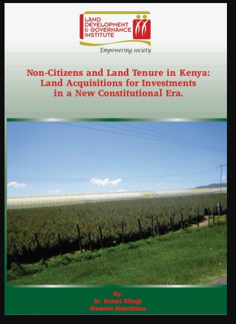
Non-Citizens and Land Tenure in Kenya: Land Acquisition for Investment in a New Constitutional Era

Journal Articles & Books
Reports & Research
June, 2012
Kenya

The acquisition of land by foreigners in developing countries has emerged as a key mechanism for foreign direct investment (FDI). FDI is defined by the Organization for Economic Cooperation and Development (OECD) as the category of international investment that reflects the objective of a resident entity in one economy to obtain a lasting interest in an enterprise resident in another economy.

Safeguards for communities during acquisition of land for investment purposes

Policy Papers & Briefs
November, 2016
Kenya

Kenya is going through a period of intense transition. The country's main development policy, Vision 2030, is just entering the second Medium Term Plan of Implementation from 2013. The development priorities focus extensively on large scale investments, for industrial, irrigated agriculture, utilization of newly discovered natural resources, and infrastructure development. Land is therefore a central commodity for realization of the sought after socioeconomic transformation.

LDGI Survey

Journal Articles & Books
Reports & Research
January, 2016
Kenya

Public land is a resource that should be effectively managed in the public’s best interest in line with provisions of the Constitutions of Kenya and the Land Act. The management framework governing land use and development decisions on public land should ensure protection and sustainable management of the land. Despite these provisions in law, recent media reports point toresurgenceof public land grab. The Land Development and Governance Institute commissioned this research study to establish the status of the public land management in Kenya.

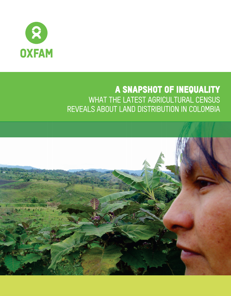
A Snapshot of Inequality

Reports & Research
April, 2017
Colombia

This report first reviews how inequality in land distribution has reached extreme levels in Colombia. Then  it  analyzes  the  problem  of concentration of land from different perspectives and indicators based on the agricultural census data from 2016, focusing on the major differences between the extremes.