page search

Issuesland useLandLibrary Resource
There are 9, 839 content items of different types and languages related to land use on the Land Portal.
Displaying 2233 - 2244 of 8566

NATIONAL LAND USE POLICY

Manuals & Guidelines
April, 2016
Kenya

The absence of a clearly defined land use policy in Kenya after years of independence has resulted in a haphazard approach to managing the different land use practices and policy responses. Land use continues to be addressed through many uncoordinated legal and policy frameworks that have done little to unravel the many issues that affect land use management. The Constitution of Kenya 2010, Kenya Vision 2030 and the Sessional Paper No. 3 of 2009 on National Land Policy all call for a clear framework for effectively addressing the challenges related to land use.

DEVELOPING LAND INFORMATION MANAGEMENT SYSTEM (LIMS) FOR COUNTY GOVERNMENTS IN KENYA: A CASE STUDY KIRINYAGA COUNTY.

Journal Articles & Books
February, 2017
Kenya

This paper describes the development of a Land Information Management System (LIMS) for County Governments in Kenya. In the new Constitution 2010, devolution of some national government functions and formation of county governments was provided for. These invoked the development of new land laws to guide the devolution processes and procedures. According to the County Government Act 2012, all County Governments are supposed to develop digital Geographic Information System (GIS) based spatial plans and these calls for development of LIMS for and efficient breakthrough.

PERSPECTIVES ON PROGRESS AND CHALLENGES OF AFFIRMATIVE ACTION AND THE MAINSTREAMING OF THE COMMONS IN KENYA

Journal Articles & Books
February, 2017
Kenya

The need for affirmative action and the mainstreaming of the commons community plus a comprehensive strategy to secure indigenous and community land has become a major global concern of the 21st century. To achieve this will require out of the box reform mechanisms and the participation of the communities concerned, such that the reforms recognize and embrace indigenous systems and structures that offer avenues to secure collective rights, land use and management of commons resources; namely pastures, water and forests among others.

Towards Kenya’s Profile of the Land Administration Domain Model (LADM)

Journal Articles & Books
August, 2014
Kenya

The application of computer technology in land administration is touted as one way of ensuring efficient and transparent land administration. Although this true, one major concern is not only how to create a computerized land information system that is interoperable across different government departments responsible for different land administration functions, but also how to ensure interoperability between national and devolved levels of government departments responsible for land administration.

KENYA URBANIZATION REVIEW

Manuals & Guidelines
Reports & Research
January, 2016
Kenya

The story of urbanization in Kenya should be one of cautious optimism. As an emerging middle-income country with a growing share of its population living in urban areas and a governance shift toward devolution, the country could be on the verge of a major social and economic transformation. How it manages its urbanization and devolution processes will determine whether it can maximize the benefits of its transition to a middle-income country.

DEVOLVING LAND GOVERNANCE

Reports & Research
May, 2016
Kenya

The Commission has been in the forefront of promoting good governance and accountability in the land sector. Progress in the land sector has been mixed. Through the effort of the government, support agencies and other stakeholders the Commission was able to devolve its function to the 47 counties through the County Land Management Boards (CLMBs). The CLMBs have in effect devolved land services throughout Kenya. However, achieving land, better land governance, accountability in the land sector and ensuring secure land rights for all Kenyan is still to be achieved.

Global Agro-ecological Assessment for Agriculture in the 21st Century: Methodology and Results

Reports & Research
December, 2015
Global

Over the past 20 years, the term "agro-ecological zones methodology," or AEZ, has become widely used. However, it has been associated with a wide range of different activities that are often related yet quite different in scope and objectives. FAO and IIASA differentiate the AEZ methodology in the following activities:


PREPARATION AND IMPLEMENTATION OF COUNTY SPATIAL PLANS

Manuals & Guidelines
January, 2017
Kenya

The Constitution of Kenya 2010 apportions responsibility of planning to both National and County governments. The County Government Act, 2012 obligates county governments to prepare and implement County Integrated Development Plans (CIDP). The CIDPs are, according to the act, five year plans that will form the basis of annual budgetary allocation by the county governments.

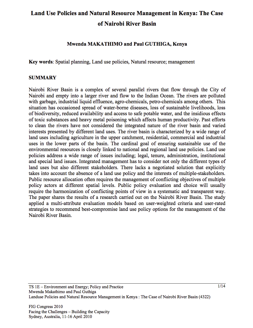
Land Use Policies and Natural Resource Management in Kenya: The Case of Nairobi River Basin

Journal Articles & Books
March, 2010
Kenya

Nairobi River Basin is a complex of several parallel rivers that flow through the City of Nairobi and empty into a larger river and flow to the Indian Ocean. The rivers are polluted with garbage, industrial liquid effluence, agro-chemicals, petro-chemicals among others. This situation has occasioned spread of water-borne diseases, loss of sustainable livelihoods, loss of biodiversity, reduced availability and access to safe potable water, and the insidious effects of toxic substances and heavy metal poisoning which affects human productivity.

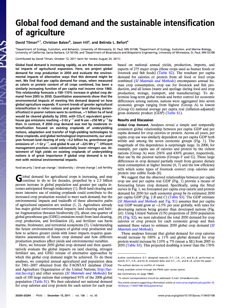
Global food demand and the sustainable intensification of agriculture

Peer-reviewed publication
September, 2011
Global

Global food demand is increasing rapidly, as are the environmental impacts of agricultural expansion. Here, we project global demand for crop production in 2050 and evaluate the environmental impacts of alternative ways that this demand might be met. We find that per capita demand for crops, when measured as caloric or protein content of all crops combined, has been a similarly increasing function of per capita real income since 1960. This relationship forecasts a 100–110% increase in global crop demand from 2005 to 2050.

Farming the planet: 1. Geographic distribution of global agricultural lands in the year 2000

Peer-reviewed publication
July, 2008
Global

Agricultural activities have dramatically altered our planet's land surface. To understand the extent and spatial distribution of these changes, we have developed a new global data set of croplands and pastures circa 2000 by combining agricultural inventory data and satellite-derived land cover data. The agricultural inventory data, with much greater spatial detail than previously available, is used to train a land cover classification data set obtained by merging two different satellite-derived products (Boston University's MODIS-derived land cover product and the GLC2000 data set).