
page search

There are 1, 445 content items of different types and languages related to open data on the Land Portal.
Displaying 49 - 60 of 94

Monitoring Coastal and Estuarine Water Quality Using Remote Sensing and In Situ Data

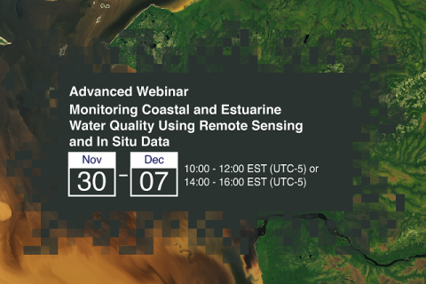
30 November 2021 - 07 December 2021

This two-part, advanced webinar series is a follow-on to the training on coastal and estuarine water quality held in September 2021. It is a hands-on training with demos provided by instructors, followed by an hour of lab time for participants to use Level-1 MODIS and VIIRS data provided by the Ocean Biology DAAC (OB.DAAC) and SeaDAS and OCSSW software for deriving water quality parameters.

Land Governance Data: 1st Stakeholder Meeting Dakar, Senegal

16 March 2022

Piloting the Open Up Guide for Land Governance in Senegal


The stakeholder workshop, which will take place with select stakeholders in Dakar, will introduce the first phase of the "Open Up Guide for Land Governance" project in Senegal; identify networks and stakeholders in the open land data sector; and increase awareness regarding open data in the land sector.

Land Portal Foundation
Open Data Charter
Deutsche Gesellschaft für Internationale Zusammenarbeit (GIZ) GmbH

Applications of Remote Sensing-Based Evapotranspiration Data Products for Agricultural and Water Resource Management

01 June 2022 - 15 June 2022

Evapotranspiration (ET) is the process by which the land surface returns water to the atmosphere in the form of moisture. ET is a very important part of the water cycle in the Earth system. It is the sum of evaporation from bare soil and transpiration from vegetation. For a given watershed, the supply of water from precipitation, surface and groundwater can be depleted via ET.