Sustainable intensification practices suitable for smallholders in southern Africa will be needed to counteract the impact of future climate change and soil fertility decline in the region. Diversification of maize-based farming systems with grain legumes could play a key role. Here, we compared…
Work package 4 maps rice areas using remote sensing, geographic information system (GIS), and crop modeling. This work builds on the Remote sensing-based Information and Insurance for Crops in Emerging economies (RIICE, <a href="…
Future climate models indicate an enhanced severity of regional drought and frequent rewetting events, which may cause cascading impacts on soil nitrogen cycle and nitrous oxide (N2O) emissions, but the underlying microbial mechanism remains largely unknown. Here we report an incubation study…
Undesirable changes in surface water and groundwater resources and land quality for biophysical and institutional reasons will further endanger the livelihoods of people in Central Asia. The farmers' understanding of these problems and the adaptation and solution strategies they opt for are…
The new Women’s Empowerment Metric for National Statistical Systems (WEMNS) is a streamlined tool for measuring women’s empowerment, intended for use in large-scale, multitopic surveys conducted by national statistical systems. WEMNS is designed to measure empowerment in households with all…
Wheat blast is a devastating disease caused by the fungal pathogen Magnaporthe oryzae pathotype Triticum that has spread to both neighbouring and distant countries following its emergence in Brazil in the 1980s. Under climate change conditions, wheat blast is predicted to spread primarily in…
Key messages
• Population growth, changing diets, and a rapidly growing feed sector are contributing to a sharp increase in global maize demand which is expected to double by 2050 relative to 2010.
• Average global maize yield is projected to decrease by 11% under a global…
Lack of systematic tools and approaches for measuring climate change adaptation limits the measurement of progress toward the adaptation goals of the Paris Agreement. To this end, we piloted a new approach, the Biomass Climate Adaptation Index (Biomass CAI), for measuring agricultural adaptation…
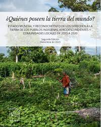
¿Quiénes poseen la tierra del mundo?
<h3>Estado mundial y reconocimiento de los derechos a la tierra de los Pueblos Indígenas, Afrodescendientes y comunidades locales de 2015 a 2020</h3>
Desde que publicamos la primera edición de <em>¿Quién posee la tierra…
This publication is a product of the GEF-funded FAO project ‘Decision Support for Mainstreaming and Scaling Out Sustainable Land Management (DS-SLM)’ which has developed a decision support framework (DSF). The DSF integrates experience from work with land degradation (LD) and SLM into an overall…
Land corruption – corrupt practices in the land sector – threatens the lives and livelihoods of people and communities, the environment and climate, food security and political stability. Its impacts are particularly acute for 2.5 billion people who live on and from the land. Addressing it…
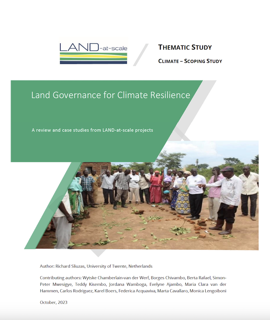
This report is a contribution of the knowledge management component of the LAND-at-scale programme (LAS) which is funded by the Netherlands Ministry of Foreign Affairs, and implemented by the Netherlands Enterprise Agency (Rijksdienst voor Ondernemend Nederland - RVO). LAND-at-scale is a seven-…


