page search

Issuesland administrationLandLibrary Resource
Displaying 589 - 600 of 1668

Assessment of the Customary Land Administration and Natural Resource Management in the Pastoral Areas of the Oromia Regional State

Conference Papers & Reports
July, 2014
Africa

Pastoralism has been under pressure due to a number of factors including climate change, population pressure and socioeconomic dynamism. These factors have affected the relationships among different pastoral groups and the functioning of the customary institutions in managing natural resources. Interference of the state structures into pastoral areas, land alienation for large scale investment and delineation of protected area from communal grazing areas have negatively affected the relationships between pastoralists and the state.

Ethiopia—Strengthening Land Administration Program (ELAP)

Reports & Research
August, 2012
Ethiopia

1 Background The Pastoral and Agro-Pastoral Land Tenure and Administration Study (PALTAS) was launched because of the compelling need to identify and recommend policy that clarify and strengthen the land rights of pastoralists and agro-pastoralists and put in place appropriate administrative mechanisms to enforce their rights. It was designed to assess the land tenure problems in the pastoral and agro-pastoral areas of Oromia, SNNP, Gambella, Afar, and Somali regional states.

RECIPROCAL RESOURCE AGREEMENT DOCUMENTATION

Reports & Research
November, 2011
Kenya

Marsabit County is situated in the northern part of Kenya, bordering the Republic of Ethiopia to the north and Lake Turkana to the west. With approximately 66,000 square kilometres of which 4,956 km2 are covered by Lake Turkana, the foremost part of Marsabit County is an extensive plain which lies between 300m and 900m above sea level. It is characterized by a population density averaging 2 persons per km2 and a distribution varying between 1 person up to 22 persons per km2, depending on the scarcity of water as well as the amount of permanent and semi-permanent settlements.

ENGINEERING ETHNIC CONFLICT THE TOLL OF ETHIOPIA’S PLANTATION DEVELOPMENT ON THE SURI PEOPLE

Reports & Research
October, 2014
Ethiopia

Recently dubbed “Africa’s Lion” (in allusion to the discourse around “Asian Tigers”), Ethiopia is celebrated for its steady economic growth, including a growing number of millionaires compared to other African nations. However, as documented in previous research by the Oakland Institute, the Ethiopian government’s “development strategy,” is founded on its policy of leasing millions of hectares (ha) of land to foreign investors.

Hosts and Guests A historical interpretation of land conflicts in southern and central Somalia

Policy Papers & Briefs
April, 2015
Somalia

'In Somalia, land issues are particularly complex. Those involved in both policy and practice need to understand this complexity better if durable political solutions are to be identified and property rights for individuals and communities secured. Lee Cassanelli explains the complex nature of land use, as well as the concept of ‘home’ in the Somali context. His paper is food for thought for all those interested in land reform.'
 

Sitting at the table: securing benefits for pastoral women from land tenure reform in Ethiopia

Journal Articles & Books
February, 2010
Ethiopia

The pastoral areas of Ethiopia are witnessing radical change in terms of both increasingly restricted mobility and access to vital resources. A cause and consequence of such constraints has been a move toward sedentarised forms of livestock and agricultural production. This is occurring in a political and socioeconomic vacuum, in which the customary institutions responsible for resource allocation and access to land are becoming weaker, and where the Ethiopian government has yet to develop a clear policy or strategy for resource distribution and tenure security in pastoral areas.

Uganda’s National Land Policy: What it means for Pastoral Areas

Policy Papers & Briefs
December, 2013
Uganda

In August 2013, the Government of Uganda gazetted the National Land Policy (NLP) after having initiated the policy process over three decades ago. The NLP is to provide an over-arching policy framework for land governance and management, consolidating the many other policies and laws that have governed land and natural resources since colonial times.

Responding to mobility constraints: Recent shifts in resource use practices and herding strategies in the Borana pastoral system, southern Ethiopia

Journal Articles & Books
February, 2015
Africa
Ethiopia

This paper investigates how Borana pastoralists of southern Ethiopia have adapted resource use and livestock mobility practices amid multiple constraints including rising population, loss of rangeland to other pastoral communities and changing access rights, among others. This study uses an innovative multi-scalar methodology to understand how herders' grazing management decisions are made within a context of communal regulations governing access to resources.

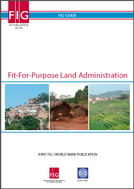
Fit-For-Purpose Land Administration

Reports & Research
Training Resources & Tools
February, 2014
Global

The current solutions to delivering land administration services have very limited global outreach; 75 percent of the world's population do not have access to formal systems to register and safeguard their land rights. The majority of these are the poor and the most vulnerable in society and without any level of security of tenure they constantly live in threat of eviction.

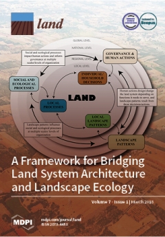
Mapping Urban Green Infrastructure: A Novel Landscape-Based Approach to Incorporating Land Use and Land Cover in the Mapping of Human-Dominated Systems

Peer-reviewed publication

Common approaches to mapping green infrastructure in urbanised landscapes invariably focus on measures of land use or land cover and associated functional or physical traits. However, such one-dimensional perspectives do not accurately capture the character and complexity of the landscapes in which urban inhabitants live. The new approach presented in this paper demonstrates how open-source, high spatial and temporal resolution data with global coverage can be used to measure and represent the landscape qualities of urban environments.