page search

Issuesland cover mappingLandLibrary Resource
There are 396 content items of different types and languages related to land cover mapping on the Land Portal.
Displaying 145 - 156 of 342

Thailand Land Titling Project

Conference Papers & Reports
April, 2004
Thailand

The Thailand Land Titling Project is an outstanding success story of inter-agency cooperation and received the World Bank Award for Excellence in 1997. It was designed as a four-phase project over 20 years and will finish in 2004. The project partners the Royal Thai Government, the Bank, and the government of Australia provided funds and personnel, with the Australian Agency for International Development (AusAID) supplying technical assistance and training programs to the Department of Lands (Thailand).

LAND-at-scale Mozambique

Policy Papers & Briefs
June, 2021
Mozambique

This one-pager provides details on the LAND-at-scale project in Mozambique. This project is implemented by Centro Terra Viva and Terra Firma, and financed by the Ministry of Foreign Affairs via the Netherlands Enterprise & Development Agency. 

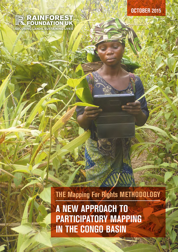
Mapping For Rights' Mapping Methodology: A new approach to participatory mapping

Manuals & Guidelines
September, 2015
Cameroon
Central African Republic
Congo
Democratic Republic of the Congo
Equatorial Guinea

This guide presents the 'Mapping for Rights' approach, which combines participatory mapping techniques, facilitation and hands-on support with the application of relevant and available technology. This combination of tools, guidance and equipment enables communities to identify advocacy goals that their maps could support. The maps are designed to provide a snapshot of the communities’ reality, including information on their history and socio- economic situation and demonstrate occupation and use of specific areas by communities.

LAND RIGHTS FOR THE UNTITLED POOR: TESTING A BUSINESS MODEL, 2012–2021

Reports & Research
June, 2021
Indonesia
Global

For the estimated 70% of the world population that lives on property without a formal land title, life can be precarious. The absence of ownership documentation raises families’ vulnerability to forced eviction and conflict; it precludes the use of the property to access financial services and other economic benefits; and it diminishes the value of property by restricting its transfer to an informal, opaque market. And yet, in many parts of the world, the process of obtaining a land title is not only expensive but also complicated and sometimes nearly impossible.

A probabilistic graphical model approach in 30 m land cover mapping with multiple data sources

Reports & Research
December, 2016
China
Russia
United States of America

There is a trend to acquire high accuracy land-cover maps using multi-source classification methods, most of which are based on data fusion, especially pixel- or feature-level fusions. A probabilistic graphical model (PGM) approach is proposed in this research for 30 m resolution land-cover mapping with multi-temporal Landsat and MODerate Resolution Imaging Spectroradiometer (MODIS) data. Independent classifiers were applied to two single-date Landsat 8 scenes and the MODIS time-series data, respectively, for probability estimation. A PGM was created for each pixel in Landsat 8 data.

An svm multiclassifier approach to land cover mapping

Reports & Research
July, 2010
United States of America

From the advent of the application of satellite imagery to land cover mapping, one of the growing areas of research interest has been in the area of image classification. Image classifiers are algorithms used to extract land cover information from satellite imagery. Most of the initial research has focussed on the development and application of algorithms to better existing and emerging classifiers. In this paper, a paradigm shift is proposed whereby a committee of classifiers is used to determine the final classification output.

Land Cover Mapping Using Ensemble Feature Selection Methods

Reports & Research
November, 2008
Norway

Ensemble classification is an emerging approach to land cover mapping whereby the final classification output is a result of a consensus of classifiers. Intuitively, an ensemble system should consist of base classifiers which are diverse i.e. classifiers whose decision boundaries err differently. In this paper ensemble feature selection is used to impose diversity in ensembles. The features of the constituent base classifiers for each ensemble were created through an exhaustive search algorithm using different separability indices.

Analyses of Land Cover Change Trajectories Leading to Tropical Forest Loss: Illustrated for the West Kutai and Mahakam Ulu Districts, East Kalimantan, Indonesia

Journal Articles & Books
September, 2018
Indonesia

In Indonesia, land cover change for agriculture and mining is threatening tropical forests, biodiversity and ecosystem services. However, land cover change is highly dynamic and complex and varies over time and space. In this study, we combined Landsat-based land cover (change) mapping, pixel-to-pixel cross tabulations and expert knowledge to analyze land cover change and forest loss in the West Kutai and Mahakam Ulu districts in East Kalimantan from 1990-2009.

Analyses of land cover change trajectories leading to tropical forest loss : Illustrated for the West Kutai and MahakamUlu Districts, East Kalimantan, Indonesia

Journal Articles & Books
December, 2018
Indonesia

In Indonesia, land cover change for agriculture and mining is threatening tropical forests, biodiversity and ecosystem services. However, land cover change is highly dynamic and complex and varies over time and space. In this study, we combined Landsat-based land cover (change) mapping, pixel-to-pixel cross tabulations and expert knowledge to analyze land cover change and forest loss in the West Kutai and Mahakam Ulu districts in East Kalimantan from 1990-2009.

Forest land conversion dynamics: a case of Pakistan

Peer-reviewed publication
October, 2016
Pakistan

The present research focuses on estimating forest area change with respect to the ongoing forest land conversion. The study tests the hypothesis that forest land is being converted to the selected land use categories with high growth tendency and controlling deforestation rate to its half of the present level would significantly improve the land cover under forest. The rate of forest land conversion to other land use categories is analyzed and then compared with the total area expanded under three land use classes.

The vegetation of Singapore

Peer-reviewed publication
December, 2010
Singapore

The primeval vegetation of Singapore was largely lowland dipterocarp forest, with mangrove forest lining much of the coast and freshwater swamp forest found further inland adjacent to the streams and rivers. After colonization by the British in 1819, almost all the primeval vegetation was cleared for agriculture and other land uses. The most comprehensive vegetation map of Singapore was made in the 1970s and has not been updated since. Here we present an updated vegetation map of Singapore using information from satellite images, published works, and extensive ground-truthing.