page search

Issuesland cover mappingLandLibrary Resource
There are 396 content items of different types and languages related to land cover mapping on the Land Portal.
Displaying 157 - 168 of 342

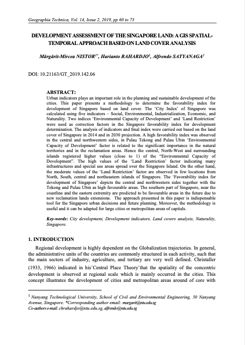
Development Assessment of the Singapore Land

Peer-reviewed publication
July, 2019
Singapore

Urban indicators plays an important role in the planning and sustainable development of the cities. This paper presents a methodology to determine the favorability index for development of Singapore based on land cover. The ‘City Index’ of Singapore was calculated using five indicators – Social, Environmental, Industrialization, Economic, and Naturality. Two indices ‘Environmental Capacity of Development’ and ‘Land Restriction’ were used as correction factors in the Singapore favorability index for development determination.

Options for Securing Tenure and Documenting Land Rights in Mozambique: A Land Policy & Practice Brief

Policy Papers & Briefs
February, 2020
Eastern Africa
Mozambique

This Briefing Paper is based on the outcomes and lessons from projects recently completed in Mozambique, funded by DFID’s LEGEND programme, wider analysis conducted by that programme, and the knowledge and practical experience of the authors. The briefing is a summary of a longer Policy & Practice Paper by Norfolk, S., Quan, J. & D. Mullins (2020), “Land Policy and Practice in Mozambique: Options for Securing Tenure and Documenting Land Rights”.

Options for Securing Tenure and Documenting Land Rightsin Mozambique: A Land Policy & Practice Paper

Policy Papers & Briefs
March, 2020
Eastern Africa
Mozambique

One of the key aspects of the Mozambican legal framework for land is that Mozambican nationals can acquire tenure rights through inheritance, via peaceful occupation or through customary channels These usufruct tenure rights, known by the Portuguese acronym ‘DUAT’ (Direito de Uso e Aproveitamento da Terra), can be held individually or jointly.

Time-series cloud noise mapping and reduction algorithm for improved vegetation and drought monitoring

Journal Articles & Books
December, 2017
Sri Lanka

Moderate Resolution Imaging Spectro-radiometer (MODIS) time-series Normalized Differential Vegetation Index (NDVI) products are regularly used for vegetation monitoring missions and climate change analysis. However, satellite observation is affected by the atmospheric condition, cloud state and shadows introducing noise in the data. MODIS state flag helps in understanding pixel quality but overestimates the noise and hence its usability requires further scrutiny. This study has analyzed MODIS MOD09A1 annual data set over Sri Lanka.

Improving the accuracy of remotely sensed irrigated areas using post-classification enhancement through UAV [Unmanned Aerial Vehicle] capability

Journal Articles & Books
December, 2018
South Africa

Although advances in remote sensing have enhanced mapping and monitoring of irrigated areas, producing accurate cropping information through satellite image classification remains elusive due to the complexity of landscapes, changes in reflectance of different land-covers, the remote sensing data selected, and image processing methods used, among others. This study extracted agricultural fields in the former homelands of Venda and Gazankulu in Limpopo Province, South Africa.

Integrating local knowledge and remote sensing for eco-type classification map in the Barotse Floodplain, Zambia

Journal Articles & Books
December, 2018
Zambia
Southern Africa

This eco-type map presents land units with distinct vegetation and exposure to floods (or droughts) in three villages in the Barotseland, Zambia. The knowledge and eco-types descriptions were collected from participatory mapping and focus group discussions with 77 participants from Mapungu, Lealui, and Nalitoya. We used two Landsat 8 Enhanced Thematic Mapper (TM) images taken in March 24th and July 14th, 2014 (path 175, row 71) to calculate water level and vegetation type which are the two main criteria used by Lozi People for differentiating eco-types.

Machine Learning and Property Rights

Journal Articles & Books
December, 2018
Global

An Introduction to Machine Learning

Machine learning is an application of artificial intelligence (AI) that enables systems to programmatically “learn” and improve from past experience. Computers use algorithms and statistical models to “learn” patterns and insights from sample sets of data (often called “training data sets”), and apply those insights to make intelligent predictions and decisions about much larger sets of data.

PowerPoint Presentation: Towards a better understanding of land and soil degradation in Europe

Multimedia
November, 2012
Global

We recognize the economic and social significance of good land management, including soil, We stress that desertification, land degradation and drought are challenges of a global dimension and continue to pose serious challenges to the sustainable development of all countries, We recognize the need for urgent action to reverse land degradation. In view of this, we will strive to achieve a land-degradation neutral world in the context of sustainable development. Measuring Land degradation is a challenge ①Declining land-productivity ≠ Land degradation e.g.

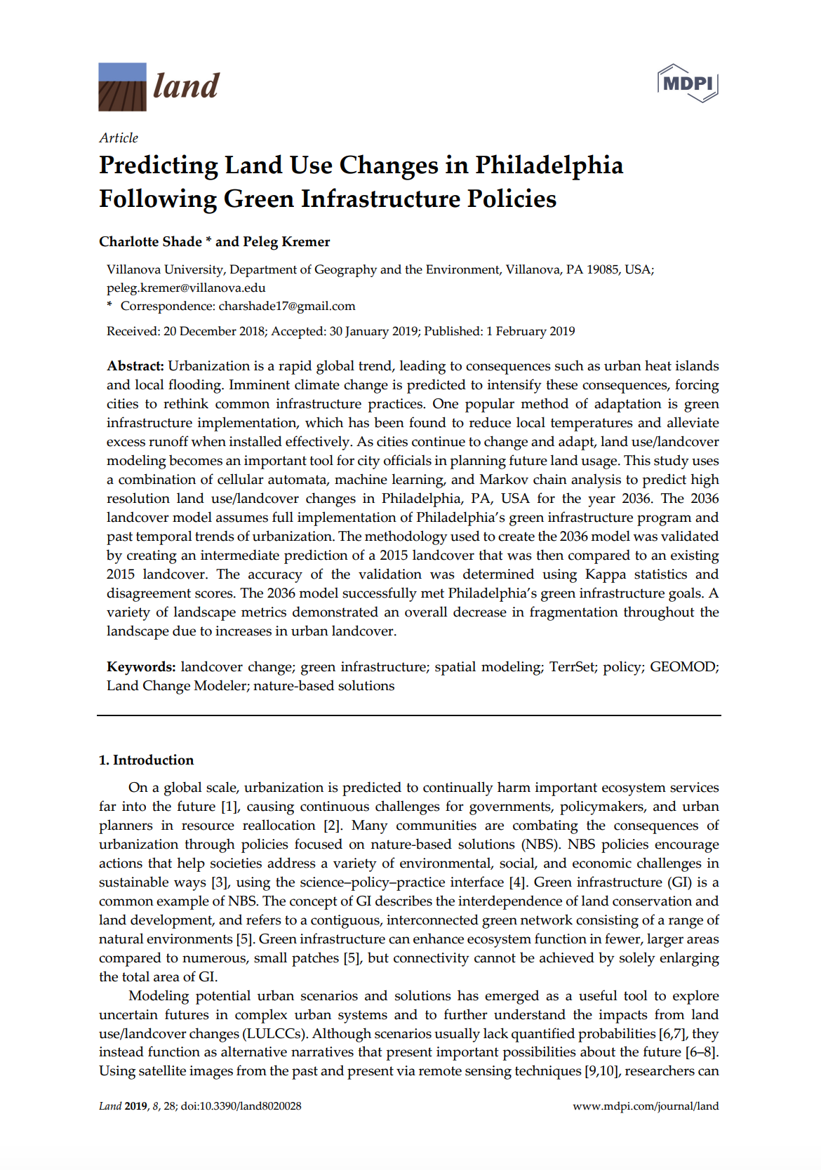
Predicting Land Use Changes in Philadelphia Following Green Infrastructure Policies

Peer-reviewed publication
January, 2019
United States of America

Urbanization is a rapid global trend, leading to consequences such as urban heat islands and local flooding. Imminent climate change is predicted to intensify these consequences, forcing cities to rethink common infrastructure practices. One popular method of adaptation is green infrastructure implementation, which has been found to reduce local temperatures and alleviate excess runoff when installed effectively. As cities continue to change and adapt, land use/landcover modeling becomes an important tool for city officials in planning future land usage.

STATE AND PROBLEMS TRAINING, ADVANCED TRAINING AND RETRAINING IN THE FIELD OF LAND PLANNING

Peer-reviewed publication
May, 2016
Ukraine

Scientific and technological progress and improve land relations, land use and organization of work makes the need for systematic improvement of forms and methods of preparation, training and retraining in the land. Training in the land - is the formation of staff knowledge and skills in a particular professional field, that training people who want to get a profession in the field of land relations and the use and protection of land and other natural resources.

DIRECTIONS FOR THE RECOVERY OF AGRICULTURAL PRODUCTION ON RADIOACTIVELY CONTAMINATED LANDS

Peer-reviewed publication
May, 2016

Effective management of agricultural production in the Polesie Ukraine traditionally was complicated through the low natural land fertility, their high acidity, perevolotsky valley. During the centrally planned economic system that the natural contrast of the Polesie land had been somewhat neglected by the state through differentiation of purchase prices for agricultural products, which gave the possibility of redistribution of the rent in favor of the farms with poorer land.