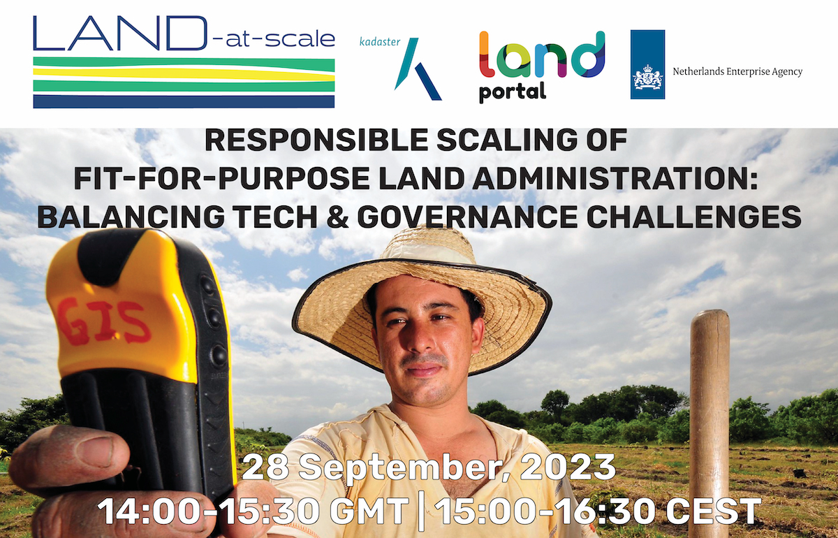
This thought-provoking webinar that explored the challenges and future directions to scale Fit-For-Purpose Land Administration (FFPLA) based on on-the-ground experiences. FFPLA approaches are broadly recognized and applauded for being more affordable, faster and flexible (in terms of spatial identification) than conventional land administration methods.
The FFPLA standard, which was developed over a decade ago, is intended to build on spatial, legal and institutional frameworks. The debate around scaling FFLPA often focuses on technologies and their vast possibilities to collect data at an unprecedented speed, low cost and scale. But how does that speed coincide with changes in legal and institutional frameworks- which often are processes that are of a longer-term? If data can be collected and effective systems can be built at a low cost, what about the costs and capacities required in the long-term when it comes to maintenance and updating systems.
This webinar addressed the often-overlooked yet critical aspects of legal and institutional frameworks that underpin sustainable changes in land governance. Understanding the balance between technological and governance processes, and how they work at different speeds is vital when striving to achieve scalable and lasting impact. The challenges and lessons learned in combining these approaches were explored, with a particular focus on engaging non-technical stakeholders in the debate.
The webinar aimed to gain a comprehensive understanding of how fit-for-purpose approaches can be scaled responsibly, steering us towards a just, inclusive, and sustainable land governance worldwide.
This event took place in English with interpretation into French and Spanish.
Speakers

Rohan Bennett , Land Administration Advisor, Kadaster International (Moderator)

Israel Taiwo, Young Professional and Chair FIG Commission 7.2

Christelle van den Berg, Regional Manager, Kadaster International

Rémy Ndayiragije, Country Representative, VNG International

Virgo Eresta Jaya,General Director of Land and Spatial Survey and Mapping, Ministry of Agrarian Affairs and Spatial Planning/National Land Agency, Indonesia


